Area Overview for S71 4SS
Photos of S71 4SS
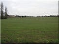
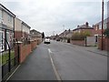
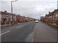
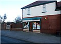
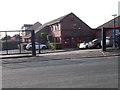
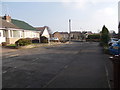
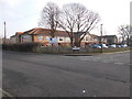
89 photos from this area
Area Information
Key information about the S71 4SS including its size, population, and administrative classification.
- Area Type
- Postcode
- Area Size
- 6441 m²
- Population
- 1451
- Population Density
- 579 people/km²
House Prices in S71 4SS
20
Properties
£122,155
Average Sold Price
£14,950
Lowest Price
£235,000
Highest Price
Showing 20 properties
| Address | Type | Beds | Baths | Last Sale Price | Last Sale Date | |
|---|---|---|---|---|---|---|
| 18 Petworth Croft, Royston, Barnsley, S71 4SS | Semi-detached | 2 | 1 | £235,000 | Oct 2024 | |
| 5 Petworth Croft, Royston, Barnsley, S71 4SS | Semi-detached | 3 | 1 | £185,000 | Jul 2022 | |
| 12 Petworth Croft, Royston, Barnsley, S71 4SS | Semi-detached | 3 | - | £155,500 | Oct 2019 | |
| 6 Petworth Croft, Royston, Barnsley, S71 4SS | Semi-detached | 3 | - | £124,950 | Nov 2014 | |
| 15 Petworth Croft, Royston, Barnsley, S71 4SS | house | - | - | £120,000 | Jul 2011 | |
| 8 Petworth Croft, Royston, Barnsley, S71 4SS | Semi-detached | - | - | £14,950 | Jun 2006 | |
| 17 Petworth Croft, Royston, Barnsley, S71 4SS | Semi-detached | - | - | £127,995 | Feb 2005 | |
| 1 Petworth Croft, Royston, Barnsley, S71 4SS | Semi-detached | 3 | - | £85,000 | Dec 2003 | |
| 16 Petworth Croft, Royston, Barnsley, S71 4SS | Semi-detached | - | - | £51,000 | Jan 1999 | |
| 11 Petworth Croft, Royston, Barnsley, S71 4SS | Semi-detached | - | - | - | - |
Page 1 of 2
Energy Efficiency in S71 4SS
Amenities
Schools
| Rank | School | Type | Entry gender | Ages |
|---|
Explore more schools in this area
Go to Schools tabDemographics
Household Size
Two person
most common
Accommodation Type
Houses
most common
Tenure
86
majority
Ethnic Group
White
most common
Religion
N/A
most common
Household Composition
N/A
most common
Age
47
median
Adults (30-64 years)
most common
Household Deprivation
N/A
with no deprivation
NS-SEC
37
in Lower managerial occupations
Explore more demographic insights in this area
Go to Demographics tabPlanning
Planning Constraints
- Flood RiskPremium
- Ramsar Wetland SitesPremium
- Area of Outstanding Natural BeautyPremium
- Protected Nature ReservePremium
- Protected WoodlandPremium