Area Overview for S71 4SJ
Photos of S71 4SJ
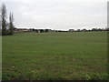
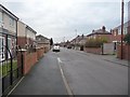
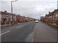
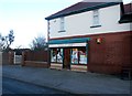
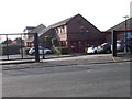
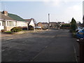
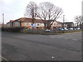
89 photos from this area
Area Information
Key information about the S71 4SJ including its size, population, and administrative classification.
- Area Type
- Postcode
- Area Size
- 1.1 hectares
- Population
- 1430
- Population Density
- 1535 people/km²
House Prices in S71 4SJ
12
Properties
£128,119
Average Sold Price
£48,500
Lowest Price
£180,000
Highest Price
Showing 12 properties
| Address | Type | Beds | Baths | Last Sale Price | Last Sale Date | |
|---|---|---|---|---|---|---|
| 4 Berkeley Croft, Royston, Barnsley, S71 4SJ | Bungalow | - | - | £180,000 | Apr 2022 | |
| 12 Berkeley Croft, Royston, Barnsley, S71 4SJ | Semi-detached | 4 | - | £157,000 | May 2019 | |
| 8 Berkeley Croft, Royston, Barnsley, S71 4SJ | Bungalow | - | - | £110,000 | Nov 2017 | |
| 16 Berkeley Croft, Royston, Barnsley, S71 4SJ | house | - | - | £138,000 | Nov 2009 | |
| 3 Berkeley Croft, Royston, Barnsley, S71 4SJ | house | - | - | £145,500 | Apr 2007 | |
| 5 Berkeley Croft, Royston, Barnsley, S71 4SJ | Semi-detached | - | - | £117,950 | Sep 2006 | |
| 2 Berkeley Croft, Royston, Barnsley, S71 4SJ | Detached | - | - | £128,000 | Jul 2005 | |
| 7 Berkeley Croft, Royston, Barnsley, S71 4SJ | Semi-detached | - | - | £48,500 | Oct 1997 | |
| 1 Berkeley Croft, Royston, Barnsley, S71 4SJ | Semi-detached | 3 | - | - | - | |
| 10 Berkeley Croft, Royston, Barnsley, S71 4SJ | Semi-detached | - | - | - | - |
Page 1 of 2
Energy Efficiency in S71 4SJ
Amenities
Schools
| Rank | School | Type | Entry gender | Ages |
|---|
Explore more schools in this area
Go to Schools tabDemographics
Household Size
Two person
most common
Accommodation Type
Houses
most common
Tenure
77
majority
Ethnic Group
White
most common
Religion
N/A
most common
Household Composition
N/A
most common
Age
47
median
Adults (30-64 years)
most common
Household Deprivation
N/A
with no deprivation
NS-SEC
31
in Lower managerial occupations
Explore more demographic insights in this area
Go to Demographics tabPlanning
Planning Constraints
- Flood RiskPremium
- Ramsar Wetland SitesPremium
- Area of Outstanding Natural BeautyPremium
- Protected Nature ReservePremium
- Protected WoodlandPremium