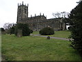
Area Overview for S71 4DH
Photos of S71 4DH
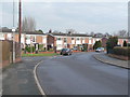
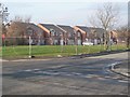
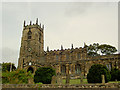
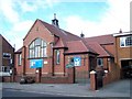
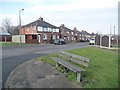
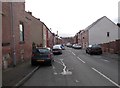
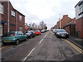
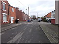
100 photos from this area
Area Information
Key information about the S71 4DH including its size, population, and administrative classification.
- Area Type
- Postcode
- Area Size
- 2.1 hectares
- Population
- 1478
- Population Density
- 3634 people/km²
House Prices in S71 4DH
63
Properties
£68,836
Average Sold Price
£18,500
Lowest Price
£159,950
Highest Price
Showing 63 properties
| Address | Type | Beds | Baths | Last Sale Price | Last Sale Date | |
|---|---|---|---|---|---|---|
| 27 Godley Street, Royston, Barnsley, S71 4DH | house | - | - | £120,000 | Feb 2025 | |
| 39 Godley Street, Royston, Barnsley, S71 4DH | Terraced | 2 | - | £106,000 | Feb 2025 | |
| 55 Godley Street, Royston, Barnsley, S71 4DH | house | - | - | £107,500 | Jan 2021 | |
| 41 Godley Street, Royston, Barnsley, S71 4DH | Terraced | 2 | - | £105,000 | Oct 2020 | |
| 20 Godley Street, Royston, Barnsley, S71 4DH | house | - | - | £103,000 | Jul 2019 | |
| 36 Godley Street, Royston, Barnsley, S71 4DH | Bungalow | - | - | £90,000 | Feb 2019 | |
| 18 Godley Street, Royston, Barnsley, S71 4DH | Semi-detached | 3 | 1 | £50,000 | Jul 2017 | |
| 33 Godley Street, Royston, Barnsley, S71 4DH | Terraced | 2 | 1 | £40,000 | Mar 2017 | |
| 23 Godley Street, Royston, Barnsley, S71 4DH | house | 3 | - | £110,000 | Jul 2016 | |
| 28 Godley Street, Royston, Barnsley, S71 4DH | Bungalow | - | - | £159,950 | Jul 2015 |
Page 1 of 7
Energy Efficiency in S71 4DH
Amenities
Schools
| Rank | School | Type | Entry gender | Ages |
|---|
Explore more schools in this area
Go to Schools tabDemographics
Household Size
One person
most common
Accommodation Type
Houses
most common
Tenure
56
majority
Ethnic Group
White
most common
Religion
N/A
most common
Household Composition
N/A
most common
Age
47
median
Adults (30-64 years)
most common
Household Deprivation
N/A
with no deprivation
NS-SEC
16
in Lower managerial occupations
Explore more demographic insights in this area
Go to Demographics tabPlanning
Planning Constraints
- Flood RiskPremium
- Ramsar Wetland SitesPremium
- Area of Outstanding Natural BeautyPremium
- Protected Nature ReservePremium
- Protected WoodlandPremium