Area Overview for S71 4AS
Photos of S71 4AS

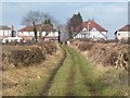
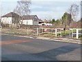
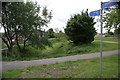
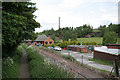

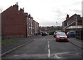
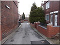
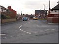
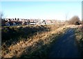
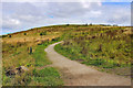
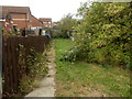
46 photos from this area
Area Information
Key information about the S71 4AS including its size, population, and administrative classification.
- Area Type
- Postcode
- Area Size
- 2.5 hectares
- Population
- 1655
- Population Density
- 695 people/km²
House Prices in S71 4AS
42
Properties
£118,938
Average Sold Price
£40,000
Lowest Price
£205,000
Highest Price
Showing 42 properties
| Address | Type | Beds | Baths | Last Sale Price | Last Sale Date | |
|---|---|---|---|---|---|---|
| 25 Calder Avenue, Royston, Barnsley, S71 4AS | Semi-detached | 2 | 1 | £140,000 | Jun 2024 | |
| 32 Calder Avenue, Royston, Barnsley, S71 4AS | Semi-detached | 3 | 1 | £165,000 | May 2023 | |
| 44 Calder Avenue, Royston, Barnsley, S71 4AS | house | 3 | 1 | £205,000 | Nov 2022 | |
| 19 Calder Avenue, Royston, Barnsley, S71 4AS | Retail | 3 | 1 | £165,000 | Oct 2022 | |
| 17 Calder Avenue, Royston, Barnsley, S71 4AS | house | - | - | £140,500 | Aug 2022 | |
| 30 Calder Avenue, Royston, Barnsley, S71 4AS | house | - | - | £125,000 | Dec 2021 | |
| 6 Calder Avenue, Royston, Barnsley, S71 4AS | house | - | - | £140,000 | Nov 2021 | |
| 8 Calder Avenue, Royston, Barnsley, S71 4AS | house | - | - | £102,500 | Nov 2020 | |
| 26 Calder Avenue, Royston, Barnsley, S71 4AS | Semi-detached | 3 | 1 | £120,000 | Sep 2020 | |
| 29 Calder Avenue, Royston, Barnsley, S71 4AS | Semi-detached | 3 | 1 | £135,000 | Dec 2019 |
Page 1 of 5
Energy Efficiency in S71 4AS
Amenities
Schools
| Rank | School | Type | Entry gender | Ages |
|---|
Explore more schools in this area
Go to Schools tabDemographics
Household Size
Two person
most common
Accommodation Type
Houses
most common
Tenure
69
majority
Ethnic Group
White
most common
Religion
N/A
most common
Household Composition
N/A
most common
Age
47
median
Adults (30-64 years)
most common
Household Deprivation
N/A
with no deprivation
NS-SEC
23
in Lower managerial occupations
Explore more demographic insights in this area
Go to Demographics tabPlanning
Planning Constraints
- Flood RiskPremium
- Ramsar Wetland SitesPremium
- Area of Outstanding Natural BeautyPremium
- Protected Nature ReservePremium
- Protected WoodlandPremium