Area Overview for S71 3AN
Photos of S71 3AN


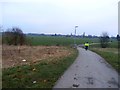
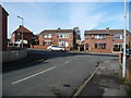
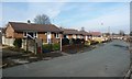
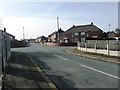
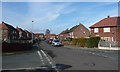
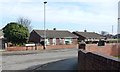
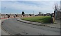
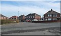
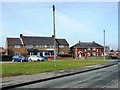
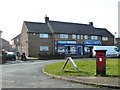
22 photos from this area
Area Information
Key information about the S71 3AN including its size, population, and administrative classification.
- Area Type
- Postcode
- Area Size
- 1.7 hectares
- Population
- 1670
- Population Density
- 1829 people/km²
House Prices in S71 3AN
34
Properties
£94,328
Average Sold Price
£27,000
Lowest Price
£215,000
Highest Price
Showing 34 properties
| Address | Type | Beds | Baths | Last Sale Price | Last Sale Date | |
|---|---|---|---|---|---|---|
| Oak House, Laithes Lane, Athersley South, Barnsley, S71 3AN | Semi-detached | 3 | 1 | £120,000 | Jan 2024 | |
| 211 Laithes Lane, Athersley South, Barnsley, S71 3AN | house | - | - | £215,000 | Feb 2023 | |
| 231 Laithes Lane, Athersley South, Barnsley, S71 3AN | house | - | - | £93,000 | Dec 2019 | |
| 229 Laithes Lane, Athersley South, Barnsley, S71 3AN | Semi-detached | 3 | - | £79,000 | May 2015 | |
| 207 Laithes Lane, Athersley South, Barnsley, S71 3AN | Semi-detached | 2 | - | £75,000 | Apr 2015 | |
| 193 Laithes Lane, Athersley South, Barnsley, S71 3AN | Semi-detached | 3 | - | £104,950 | Nov 2014 | |
| 225 Laithes Lane, Athersley South, Barnsley, S71 3AN | house | - | - | £85,000 | Jul 2012 | |
| 217 Laithes Lane, Athersley South, Barnsley, S71 3AN | house | - | - | £50,000 | Aug 2003 | |
| 201 Laithes Lane, Athersley South, Barnsley, S71 3AN | Semi-detached | - | - | £27,000 | Jan 1995 | |
| 223 Laithes Lane, Athersley South, Barnsley, S71 3AN | house | 3 | 2 | - | - |
Page 1 of 4
Energy Efficiency in S71 3AN
Amenities
Schools
| Rank | School | Type | Entry gender | Ages |
|---|
Explore more schools in this area
Go to Schools tabDemographics
Household Size
One person
most common
Accommodation Type
Houses
most common
Tenure
46
majority
Ethnic Group
White
most common
Religion
N/A
most common
Household Composition
N/A
most common
Age
47
median
Adults (30-64 years)
most common
Household Deprivation
N/A
with no deprivation
NS-SEC
14
in Lower managerial occupations
Explore more demographic insights in this area
Go to Demographics tabPlanning
Planning Constraints
- Flood RiskPremium
- Ramsar Wetland SitesPremium
- Area of Outstanding Natural BeautyPremium
- Protected Nature ReservePremium
- Protected WoodlandPremium