Area Overview for S71 2QE
Photos of S71 2QE
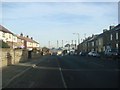
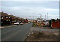
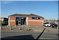
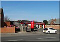
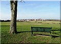
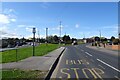
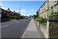
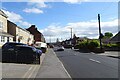
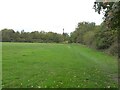

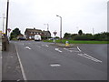
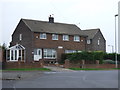
19 photos from this area
Area Information
Key information about the S71 2QE including its size, population, and administrative classification.
- Area Type
- Postcode
- Area Size
- 2.0 hectares
- Population
- 2626
- Population Density
- 2056 people/km²
House Prices in S71 2QE
47
Properties
£114,588
Average Sold Price
£30,000
Lowest Price
£275,000
Highest Price
Showing 47 properties
| Address | Type | Beds | Baths | Last Sale Price | Last Sale Date | |
|---|---|---|---|---|---|---|
| 259 Burton Road, Monk Bretton, Barnsley, S71 2QE | Semi-detached | 2 | 1 | £150,000 | Aug 2025 | |
| 374 Burton Road, Monk Bretton, Barnsley, S71 2QE | Semi-detached | 3 | 2 | £160,000 | Feb 2025 | |
| 396-398 Burton Road, Monk Bretton, Barnsley, S71 2QE | Terraced | 5 | 2 | £175,000 | Aug 2023 | |
| 281 Burton Road, Monk Bretton, Barnsley, S71 2QE | Detached | 3 | 1 | £275,000 | Jul 2022 | |
| 368 Burton Road, Monk Bretton, Barnsley, S71 2QE | Semi-detached | 3 | 3 | £139,000 | May 2022 | |
| 364 Burton Road, Monk Bretton, Barnsley, S71 2QE | Terraced | 3 | - | £60,000 | Sep 2021 | |
| 360 Burton Road, Monk Bretton, Barnsley, S71 2QE | Terraced | 3 | 1 | £94,000 | Jul 2021 | |
| 400 Burton Road, Monk Bretton, Barnsley, S71 2QE | Terraced | 3 | 1 | £110,000 | Apr 2021 | |
| 301 Burton Road, Monk Bretton, Barnsley, S71 2QE | house | 2 | - | £156,500 | Feb 2021 | |
| 370 Burton Road, Monk Bretton, Barnsley, S71 2QE | Terraced | 3 | 3 | £125,000 | Jan 2021 |
Page 1 of 5
Energy Efficiency in S71 2QE
Amenities
Schools
| Rank | School | Type | Entry gender | Ages |
|---|
Explore more schools in this area
Go to Schools tabDemographics
Household Size
Family (3-5 people)
most common
Accommodation Type
Houses
most common
Tenure
70
majority
Ethnic Group
White
most common
Religion
N/A
most common
Household Composition
N/A
most common
Age
47
median
Adults (30-64 years)
most common
Household Deprivation
N/A
with no deprivation
NS-SEC
25
in Lower managerial occupations
Explore more demographic insights in this area
Go to Demographics tabPlanning
Planning Constraints
- Flood RiskPremium
- Ramsar Wetland SitesPremium
- Area of Outstanding Natural BeautyPremium
- Protected Nature ReservePremium
- Protected WoodlandPremium