Area Overview for S71 2PE
Photos of S71 2PE
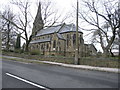
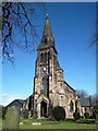
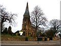
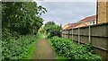
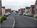
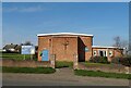
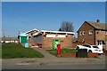
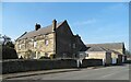
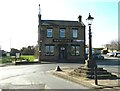
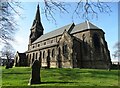
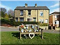
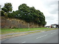
24 photos from this area
Area Information
Key information about the S71 2PE including its size, population, and administrative classification.
- Area Type
- Postcode
- Area Size
- 1.3 hectares
- Population
- 1308
- Population Density
- 2876 people/km²
House Prices in S71 2PE
36
Properties
£112,997
Average Sold Price
£35,950
Lowest Price
£171,000
Highest Price
Showing 36 properties
| Address | Type | Beds | Baths | Last Sale Price | Last Sale Date | |
|---|---|---|---|---|---|---|
| 20 Bentham Drive, Monk Bretton, Barnsley, S71 2PE | Semi-detached | 3 | 1 | £162,000 | May 2024 | |
| 6 Bentham Drive, Monk Bretton, Barnsley, S71 2PE | house | - | - | £145,000 | Jun 2023 | |
| 12 Bentham Drive, Monk Bretton, Barnsley, S71 2PE | Semi-detached | 3 | 1 | £154,000 | Nov 2022 | |
| 23 Bentham Drive, Monk Bretton, Barnsley, S71 2PE | house | 3 | 1 | £171,000 | Nov 2021 | |
| 15 Bentham Drive, Monk Bretton, Barnsley, S71 2PE | house | - | - | £170,000 | Jul 2021 | |
| 18 Bentham Drive, Monk Bretton, Barnsley, S71 2PE | Semi-detached | 3 | 1 | £155,000 | Oct 2020 | |
| 5 Bentham Drive, Monk Bretton, Barnsley, S71 2PE | Semi-detached | 4 | - | £141,500 | Apr 2019 | |
| 21 Bentham Drive, Monk Bretton, Barnsley, S71 2PE | Semi-detached | 3 | - | £122,500 | May 2018 | |
| 24 Bentham Drive, Monk Bretton, Barnsley, S71 2PE | house | - | - | £95,500 | Mar 2016 | |
| 48 Bentham Drive, Monk Bretton, Barnsley, S71 2PE | Maisonette | - | - | £60,000 | Feb 2016 |
Page 1 of 4
Energy Efficiency in S71 2PE
Amenities
Schools
| Rank | School | Type | Entry gender | Ages |
|---|
Explore more schools in this area
Go to Schools tabDemographics
Household Size
Two person
most common
Accommodation Type
Houses
most common
Tenure
81
majority
Ethnic Group
White
most common
Religion
N/A
most common
Household Composition
N/A
most common
Age
47
median
Adults (30-64 years)
most common
Household Deprivation
N/A
with no deprivation
NS-SEC
26
in Lower managerial occupations
Explore more demographic insights in this area
Go to Demographics tabPlanning
Planning Constraints
- Flood RiskPremium
- Ramsar Wetland SitesPremium
- Area of Outstanding Natural BeautyPremium
- Protected Nature ReservePremium
- Protected WoodlandPremium