Area Overview for S71 1JU
Photos of S71 1JU
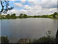
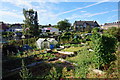
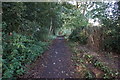
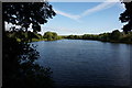
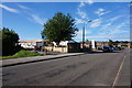
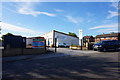
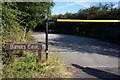
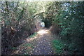
48 photos from this area
Area Information
Key information about the S71 1JU including its size, population, and administrative classification.
- Area Type
- Postcode
- Area Size
- 4781 m²
- Population
- 2581
- Population Density
- 2160 people/km²
House Prices in S71 1JU
15
Properties
£106,378
Average Sold Price
£40,000
Lowest Price
£230,000
Highest Price
Showing 15 properties
| Address | Type | Beds | Baths | Last Sale Price | Last Sale Date | |
|---|---|---|---|---|---|---|
| 120A Rockingham Street, Barnsley, S71 1JU | Detached | 3 | 1 | £230,000 | Apr 2025 | |
| 140 Rockingham Street, Barnsley, S71 1JU | house | - | - | £110,000 | Jan 2020 | |
| 142 Rockingham Street, Barnsley, S71 1JU | Semi-detached | 3 | 1 | £142,500 | Oct 2019 | |
| 118 Rockingham Street, Barnsley, S71 1JU | Semi-detached | 2 | 1 | £122,500 | Aug 2019 | |
| 116 Rockingham Street, Barnsley, S71 1JU | house | - | - | £85,000 | Jul 2017 | |
| 136 Rockingham Street, Barnsley, S71 1JU | Terraced | 3 | 1 | £57,500 | Sep 2016 | |
| 122 Rockingham Street, Barnsley, S71 1JU | Semi-detached | - | - | £109,950 | Aug 2004 | |
| 120 Rockingham Street, Barnsley, S71 1JU | Semi-detached | 3 | 1 | £59,950 | Aug 2002 | |
| 114 Rockingham Street, Barnsley, S71 1JU | Semi-detached | - | - | £40,000 | Aug 1996 | |
| 124 Rockingham Street, Barnsley, S71 1JU | Detached | 3 | 1 | - | - |
Page 1 of 2
Energy Efficiency in S71 1JU
Amenities
Schools
| Rank | School | Type | Entry gender | Ages |
|---|
Explore more schools in this area
Go to Schools tabDemographics
Household Size
Two person
most common
Accommodation Type
Houses
most common
Tenure
72
majority
Ethnic Group
White
most common
Religion
N/A
most common
Household Composition
N/A
most common
Age
47
median
Adults (30-64 years)
most common
Household Deprivation
N/A
with no deprivation
NS-SEC
33
in Lower managerial occupations
Explore more demographic insights in this area
Go to Demographics tabPlanning
Planning Constraints
- Flood RiskPremium
- Ramsar Wetland SitesPremium
- Area of Outstanding Natural BeautyPremium
- Protected Nature ReservePremium
- Protected WoodlandPremium