Area Overview for S70 6PS
Photos of S70 6PS
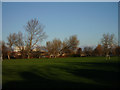
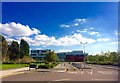
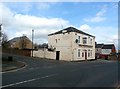
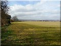
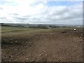

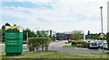
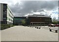
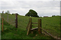
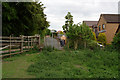

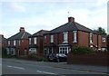
24 photos from this area
Area Information
Key information about the S70 6PS including its size, population, and administrative classification.
- Area Type
- Postcode
- Area Size
- 3599 m²
- Population
- 1452
- Population Density
- 1140 people/km²
House Prices in S70 6PS
13
Properties
£108,564
Average Sold Price
£21,000
Lowest Price
£220,000
Highest Price
Showing 13 properties
| Address | Type | Beds | Baths | Last Sale Price | Last Sale Date | |
|---|---|---|---|---|---|---|
| 11 Whitehill Grove, Pogmoor, Barnsley, S70 6PS | Terraced | 3 | 1 | £180,000 | Nov 2022 | |
| 2 Whitehill Grove, Pogmoor, Barnsley, S70 6PS | house | - | - | £220,000 | Sep 2022 | |
| 12 Whitehill Grove, Pogmoor, Barnsley, S70 6PS | house | - | - | £120,000 | Jul 2022 | |
| 9 Whitehill Grove, Pogmoor, Barnsley, S70 6PS | Terraced | 3 | - | £159,700 | Jul 2021 | |
| 8 Whitehill Grove, Pogmoor, Barnsley, S70 6PS | Terraced | - | - | £125,000 | Jul 2006 | |
| 4 Whitehill Grove, Pogmoor, Barnsley, S70 6PS | Terraced | 3 | - | £105,000 | May 2006 | |
| 5 Whitehill Grove, Pogmoor, Barnsley, S70 6PS | Semi-detached | 3 | - | £116,500 | Feb 2006 | |
| 10 Whitehill Grove, Pogmoor, Barnsley, S70 6PS | Terraced | - | - | £51,000 | Aug 2001 | |
| 7 Whitehill Grove, Pogmoor, Barnsley, S70 6PS | Terraced | - | - | £52,000 | Sep 2000 | |
| 13 Whitehill Grove, Pogmoor, Barnsley, S70 6PS | Terraced | - | - | £21,000 | Oct 1998 |
Page 1 of 2
Energy Efficiency in S70 6PS
Amenities
Schools
| Rank | School | Type | Entry gender | Ages |
|---|
Explore more schools in this area
Go to Schools tabDemographics
Household Size
Two person
most common
Accommodation Type
Houses
most common
Tenure
89
majority
Ethnic Group
White
most common
Religion
N/A
most common
Household Composition
N/A
most common
Age
47
median
Adults (30-64 years)
most common
Household Deprivation
N/A
with no deprivation
NS-SEC
39
in Lower managerial occupations
Explore more demographic insights in this area
Go to Demographics tabPlanning
Planning Constraints
- Flood RiskPremium
- Ramsar Wetland SitesPremium
- Area of Outstanding Natural BeautyPremium
- Protected Nature ReservePremium
- Protected WoodlandPremium