Area Overview for S70 6EF
Photos of S70 6EF
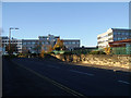
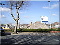
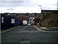
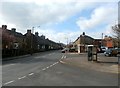
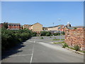
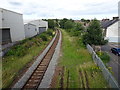
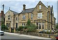
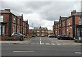
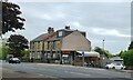
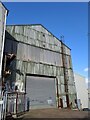
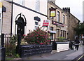
34 photos from this area
Area Information
Key information about the S70 6EF including its size, population, and administrative classification.
- Area Type
- Postcode
- Area Size
- 2925 m²
- Population
- 2254
- Population Density
- 9804 people/km²
House Prices in S70 6EF
21
Properties
£59,646
Average Sold Price
£10,750
Lowest Price
£150,000
Highest Price
Showing 21 properties
| Address | Type | Beds | Baths | Last Sale Price | Last Sale Date | |
|---|---|---|---|---|---|---|
| 7 Alma Street, Barnsley, S70 6EF | Retail | 3 | 1 | £150,000 | May 2024 | |
| 31 Alma Street, Barnsley, S70 6EF | Terraced | 2 | 1 | £60,000 | Jul 2023 | |
| 33 Alma Street, Barnsley, S70 6EF | Terraced | 2 | 2 | £74,000 | Dec 2020 | |
| 25 Alma Street, Barnsley, S70 6EF | Terraced | 2 | 1 | £77,500 | Oct 2020 | |
| 2 Alma Street, Barnsley, S70 6EF | Terraced | 2 | - | £68,000 | Feb 2015 | |
| 11 Alma Street, Barnsley, S70 6EF | Terraced | 3 | - | £76,000 | Dec 2013 | |
| 10 Alma Street, Barnsley, S70 6EF | Terraced | 2 | 1 | £50,000 | Oct 2010 | |
| 17 Alma Street, Barnsley, S70 6EF | Terraced | - | - | £69,000 | May 2007 | |
| 14 Alma Street, Barnsley, S70 6EF | house | - | - | £15,000 | Jul 2002 | |
| 16 Alma Street, Barnsley, S70 6EF | house | - | - | £27,000 | Dec 1999 |
Page 1 of 3
Energy Efficiency in S70 6EF
Amenities
Schools
| Rank | School | Type | Entry gender | Ages |
|---|
Explore more schools in this area
Go to Schools tabDemographics
Household Size
One person
most common
Accommodation Type
Houses
most common
Tenure
27
majority
Ethnic Group
White
most common
Religion
N/A
most common
Household Composition
N/A
most common
Age
47
median
Adults (30-64 years)
most common
Household Deprivation
N/A
with no deprivation
NS-SEC
19
in Lower managerial occupations
Explore more demographic insights in this area
Go to Demographics tabPlanning
Planning Constraints
- Flood RiskPremium
- Ramsar Wetland SitesPremium
- Area of Outstanding Natural BeautyPremium
- Protected Nature ReservePremium
- Protected WoodlandPremium