Area Overview for S70 5UY
Photos of S70 5UY
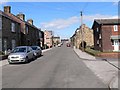
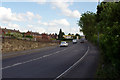

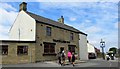
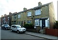
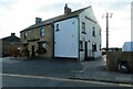
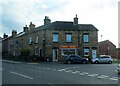
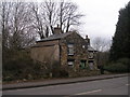
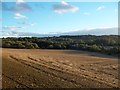
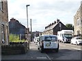
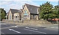
25 photos from this area
Area Information
Key information about the S70 5UY including its size, population, and administrative classification.
- Area Type
- Postcode
- Area Size
- 7.9 hectares
- Population
- 2005
- Population Density
- 862 people/km²
House Prices in S70 5UY
32
Properties
£88,208
Average Sold Price
£31,300
Lowest Price
£155,000
Highest Price
Showing 32 properties
| Address | Type | Beds | Baths | Last Sale Price | Last Sale Date | |
|---|---|---|---|---|---|---|
| 44 Sheffield Road, Birdwell, Barnsley, S70 5UY | house | 2 | 1 | £134,000 | Sep 2024 | |
| 30 Sheffield Road, Birdwell, Barnsley, S70 5UY | Terraced | 2 | 1 | £150,000 | Jul 2024 | |
| 60 Sheffield Road, Birdwell, Barnsley, S70 5UY | house | - | - | £120,000 | Dec 2021 | |
| 72 Sheffield Road, Birdwell, Barnsley, S70 5UY | house | 2 | 1 | £64,000 | Dec 2020 | |
| 68 Sheffield Road, Birdwell, Barnsley, S70 5UY | house | 2 | - | £74,000 | Jun 2018 | |
| 56 Sheffield Road, Birdwell, Barnsley, S70 5UY | house | - | - | £79,950 | Oct 2016 | |
| 102 Sheffield Road, Birdwell, Barnsley, S70 5UY | Terraced | 3 | - | £84,500 | Oct 2015 | |
| 78 Sheffield Road, Birdwell, Barnsley, S70 5UY | Semi-detached | - | - | £102,500 | Aug 2011 | |
| 32 Sheffield Road, Birdwell, Barnsley, S70 5UY | Terraced | 2 | 1 | £99,950 | Sep 2010 | |
| 94 Sheffield Road, Birdwell, Barnsley, S70 5UY | Terraced | 2 | 1 | £83,000 | May 2010 |
Page 1 of 4
Energy Efficiency in S70 5UY
Amenities
Schools
| Rank | School | Type | Entry gender | Ages |
|---|
Explore more schools in this area
Go to Schools tabDemographics
Household Size
Two person
most common
Accommodation Type
Houses
most common
Tenure
72
majority
Ethnic Group
White
most common
Religion
N/A
most common
Household Composition
N/A
most common
Age
47
median
Adults (30-64 years)
most common
Household Deprivation
N/A
with no deprivation
NS-SEC
30
in Lower managerial occupations
Explore more demographic insights in this area
Go to Demographics tabPlanning
Planning Constraints
- Flood RiskPremium
- Ramsar Wetland SitesPremium
- Area of Outstanding Natural BeautyPremium
- Protected Nature ReservePremium
- Protected WoodlandPremium