Area Overview for S70 5SX
Photos of S70 5SX
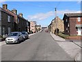
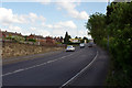

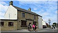
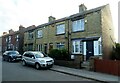
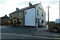
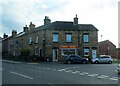
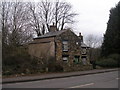
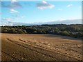

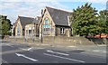
25 photos from this area
Area Information
Key information about the S70 5SX including its size, population, and administrative classification.
- Area Type
- Postcode
- Area Size
- 9.1 hectares
- Population
- 2005
- Population Density
- 862 people/km²
House Prices in S70 5SX
41
Properties
£186,032
Average Sold Price
£109,700
Lowest Price
£365,000
Highest Price
Showing 41 properties
| Address | Type | Beds | Baths | Last Sale Price | Last Sale Date | |
|---|---|---|---|---|---|---|
| 49 Chilcombe Place, Birdwell, Barnsley, S70 5SX | Detached | 4 | 2 | £350,000 | Dec 2024 | |
| 20 Chilcombe Place, Birdwell, Barnsley, S70 5SX | Detached | 4 | 2 | £365,000 | Jul 2024 | |
| 26 Chilcombe Place, Birdwell, Barnsley, S70 5SX | Detached | 4 | 3 | £325,000 | May 2022 | |
| 30 Chilcombe Place, Birdwell, Barnsley, S70 5SX | Detached | 4 | - | £205,000 | Jul 2017 | |
| 37 Chilcombe Place, Birdwell, Barnsley, S70 5SX | house | 4 | - | £205,045 | Mar 2017 | |
| 34 Chilcombe Place, Birdwell, Barnsley, S70 5SX | house | - | - | £250,000 | May 2014 | |
| 16 Chilcombe Place, Birdwell, Barnsley, S70 5SX | Detached | 4 | - | £180,000 | Mar 2014 | |
| 8 Chilcombe Place, Birdwell, Barnsley, S70 5SX | house | - | - | £178,500 | Oct 2013 | |
| 11 Chilcombe Place, Birdwell, Barnsley, S70 5SX | Detached | 4 | - | £220,000 | Sep 2013 | |
| 1 Chilcombe Place, Birdwell, Barnsley, S70 5SX | Detached | 4 | - | £225,000 | Aug 2012 |
Page 1 of 5
Energy Efficiency in S70 5SX
Amenities
Schools
| Rank | School | Type | Entry gender | Ages |
|---|
Explore more schools in this area
Go to Schools tabDemographics
Household Size
Two person
most common
Accommodation Type
Houses
most common
Tenure
72
majority
Ethnic Group
White
most common
Religion
N/A
most common
Household Composition
N/A
most common
Age
47
median
Adults (30-64 years)
most common
Household Deprivation
N/A
with no deprivation
NS-SEC
30
in Lower managerial occupations
Explore more demographic insights in this area
Go to Demographics tabPlanning
Planning Constraints
- Flood RiskPremium
- Ramsar Wetland SitesPremium
- Area of Outstanding Natural BeautyPremium
- Protected Nature ReservePremium
- Protected WoodlandPremium