Area Overview for S70 5QY
Photos of S70 5QY
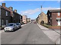


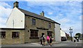
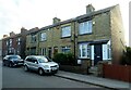
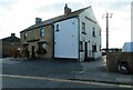
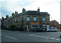

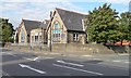
25 photos from this area
Area Information
Key information about the S70 5QY including its size, population, and administrative classification.
- Area Type
- Postcode
- Area Size
- 1.2 hectares
- Population
- 1635
- Population Density
- 475 people/km²
House Prices in S70 5QY
36
Properties
£110,626
Average Sold Price
£62,750
Lowest Price
£199,950
Highest Price
Showing 36 properties
| Address | Type | Beds | Baths | Last Sale Price | Last Sale Date | |
|---|---|---|---|---|---|---|
| 56 Rockley Avenue, Birdwell, Barnsley, S70 5QY | Semi-detached | 2 | 2 | £160,000 | Nov 2025 | |
| 26 Rockley Avenue, Birdwell, Barnsley, S70 5QY | Semi-detached | 2 | 1 | £199,950 | Jan 2025 | |
| 38 Rockley Avenue, Birdwell, Barnsley, S70 5QY | house | 2 | 1 | £165,000 | Mar 2023 | |
| 51 Rockley Avenue, Birdwell, Barnsley, S70 5QY | house | - | - | £150,000 | Nov 2022 | |
| 44 Rockley Avenue, Birdwell, Barnsley, S70 5QY | house | - | - | £125,000 | Aug 2021 | |
| 41 Rockley Avenue, Birdwell, Barnsley, S70 5QY | Semi-detached | 2 | 1 | £115,000 | Jan 2021 | |
| 62 Rockley Avenue, Birdwell, Barnsley, S70 5QY | house | - | - | £120,000 | Oct 2020 | |
| 48 Rockley Avenue, Birdwell, Barnsley, S70 5QY | Semi-detached | 2 | 1 | £88,000 | Oct 2016 | |
| 32 Rockley Avenue, Birdwell, Barnsley, S70 5QY | house | - | - | £107,000 | Jul 2016 | |
| 30 Rockley Avenue, Birdwell, Barnsley, S70 5QY | Semi-detached | 2 | 1 | £86,500 | Nov 2014 |
Page 1 of 4
Energy Efficiency in S70 5QY
Amenities
Schools
| Rank | School | Type | Entry gender | Ages |
|---|
Explore more schools in this area
Go to Schools tabDemographics
Household Size
Two person
most common
Accommodation Type
Houses
most common
Tenure
79
majority
Ethnic Group
White
most common
Religion
N/A
most common
Household Composition
N/A
most common
Age
47
median
Adults (30-64 years)
most common
Household Deprivation
N/A
with no deprivation
NS-SEC
30
in Lower managerial occupations
Explore more demographic insights in this area
Go to Demographics tabPlanning
Planning Constraints
- Flood RiskPremium
- Ramsar Wetland SitesPremium
- Area of Outstanding Natural BeautyPremium
- Protected Nature ReservePremium
- Protected WoodlandPremium