Area Overview for S70 4PR
Photos of S70 4PR
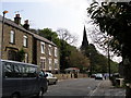
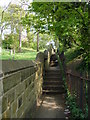
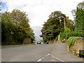
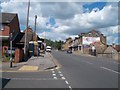
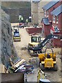
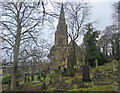
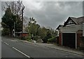
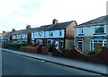
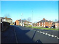
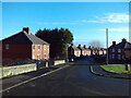
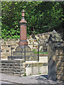
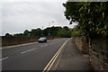
29 photos from this area
Area Information
Key information about the S70 4PR including its size, population, and administrative classification.
- Area Type
- Postcode
- Area Size
- 4.2 hectares
- Population
- 1440
- Population Density
- 2358 people/km²
House Prices in S70 4PR
40
Properties
£118,043
Average Sold Price
£37,500
Lowest Price
£184,000
Highest Price
Showing 40 properties
| Address | Type | Beds | Baths | Last Sale Price | Last Sale Date | |
|---|---|---|---|---|---|---|
| 59 Upper Sheffield Road, Barnsley, S70 4PR | Semi-detached | 3 | 1 | £184,000 | Aug 2025 | |
| 45 Upper Sheffield Road, Barnsley, S70 4PR | house | - | - | £120,000 | Jul 2025 | |
| 148 Upper Sheffield Road, Barnsley, S70 4PR | Semi-detached | 4 | 1 | £146,500 | Mar 2025 | |
| 126 Upper Sheffield Road, Barnsley, S70 4PR | house | - | - | £155,000 | Oct 2021 | |
| 124 Upper Sheffield Road, Barnsley, S70 4PR | Terraced | 3 | - | £134,000 | Oct 2020 | |
| 136 Upper Sheffield Road, Barnsley, S70 4PR | Flat | 1 | 1 | £135,000 | Sep 2020 | |
| 128 Upper Sheffield Road, Barnsley, S70 4PR | Semi-detached | 4 | - | £150,000 | Jul 2019 | |
| 51 Upper Sheffield Road, Barnsley, S70 4PR | house | - | - | £138,000 | Apr 2019 | |
| 110 Upper Sheffield Road, Barnsley, S70 4PR | Semi-detached | 3 | 1 | £107,000 | Nov 2017 | |
| 120 Upper Sheffield Road, Barnsley, S70 4PR | house | - | - | £132,500 | Oct 2017 |
Page 1 of 4
Energy Efficiency in S70 4PR
Amenities
Schools
| Rank | School | Type | Entry gender | Ages |
|---|
Explore more schools in this area
Go to Schools tabDemographics
Household Size
Two person
most common
Accommodation Type
Houses
most common
Tenure
73
majority
Ethnic Group
White
most common
Religion
N/A
most common
Household Composition
N/A
most common
Age
47
median
Adults (30-64 years)
most common
Household Deprivation
N/A
with no deprivation
NS-SEC
24
in Lower managerial occupations
Explore more demographic insights in this area
Go to Demographics tabPlanning
Planning Constraints
- Flood RiskPremium
- Ramsar Wetland SitesPremium
- Area of Outstanding Natural BeautyPremium
- Protected Nature ReservePremium
- Protected WoodlandPremium