Area Overview for S70 4AF
Photos of S70 4AF
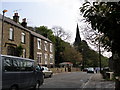
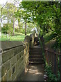
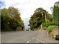
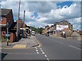
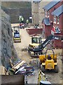
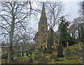
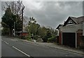
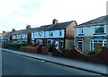
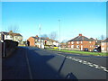
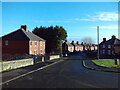
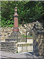
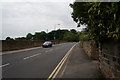
29 photos from this area
Area Information
Key information about the S70 4AF including its size, population, and administrative classification.
- Area Type
- Postcode
- Area Size
- 1.3 hectares
- Population
- 1710
- Population Density
- 3850 people/km²
House Prices in S70 4AF
25
Properties
£72,692
Average Sold Price
£21,000
Lowest Price
£190,000
Highest Price
Showing 25 properties
| Address | Type | Beds | Baths | Last Sale Price | Last Sale Date | |
|---|---|---|---|---|---|---|
| 11 Bank End Road, Worsbrough Dale, Barnsley, S70 4AF | Detached | 4 | 2 | £190,000 | Aug 2023 | |
| 34 Bank End Road, Worsbrough Dale, Barnsley, S70 4AF | Terraced | 2 | 1 | £52,000 | May 2023 | |
| 6 Bank End Road, Worsbrough Dale, Barnsley, S70 4AF | house | - | - | £55,000 | Apr 2023 | |
| 4 Bank End Road, Worsbrough Dale, Barnsley, S70 4AF | Terraced | 2 | - | £100,000 | Jan 2022 | |
| 9 Bank End Road, Worsbrough Dale, Barnsley, S70 4AF | Terraced | 2 | - | £104,000 | Jun 2021 | |
| 16 Bank End Road, Worsbrough Dale, Barnsley, S70 4AF | Terraced | 2 | 1 | £78,500 | Apr 2020 | |
| 14 Bank End Road, Worsbrough Dale, Barnsley, S70 4AF | house | - | - | £77,000 | Apr 2019 | |
| 1 Bank End Road, Worsbrough Dale, Barnsley, S70 4AF | Terraced | 4 | - | £130,000 | Feb 2016 | |
| 22 Bank End Road, Worsbrough Dale, Barnsley, S70 4AF | house | - | - | £90,000 | May 2015 | |
| 28 Bank End Road, Worsbrough Dale, Barnsley, S70 4AF | Terraced | 2 | - | £85,000 | Apr 2009 |
Page 1 of 3
Energy Efficiency in S70 4AF
Amenities
Schools
| Rank | School | Type | Entry gender | Ages |
|---|
Explore more schools in this area
Go to Schools tabDemographics
Household Size
One person
most common
Accommodation Type
Houses
most common
Tenure
50
majority
Ethnic Group
White
most common
Religion
N/A
most common
Household Composition
N/A
most common
Age
47
median
Adults (30-64 years)
most common
Household Deprivation
N/A
with no deprivation
NS-SEC
18
in Lower managerial occupations
Explore more demographic insights in this area
Go to Demographics tabPlanning
Planning Constraints
- Flood RiskPremium
- Ramsar Wetland SitesPremium
- Area of Outstanding Natural BeautyPremium
- Protected Nature ReservePremium
- Protected WoodlandPremium