Area Overview for S70 1QE
Photos of S70 1QE
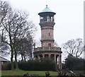
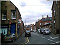
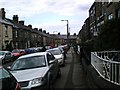
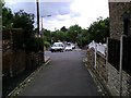

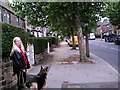
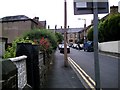
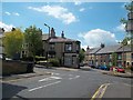
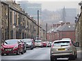
40 photos from this area
Area Information
Key information about the S70 1QE including its size, population, and administrative classification.
- Area Type
- Postcode
- Area Size
- 9552 m²
- Population
- 1876
- Population Density
- 3955 people/km²
House Prices in S70 1QE
48
Properties
£149,256
Average Sold Price
£48,750
Lowest Price
£323,000
Highest Price
Showing 48 properties
| Address | Type | Beds | Baths | Last Sale Price | Last Sale Date | |
|---|---|---|---|---|---|---|
| 123 Park Grove, Barnsley, S70 1QE | Terraced | 6 | 2 | £192,500 | Sep 2025 | |
| 121 Park Grove, Barnsley, S70 1QE | Terraced | 4 | 1 | £280,000 | Mar 2025 | |
| 128 Park Grove, Barnsley, S70 1QE | Semi-detached | 5 | 3 | £323,000 | Dec 2022 | |
| 93 Park Grove, Barnsley, S70 1QE | Terraced | 4 | 2 | £175,000 | Sep 2022 | |
| 106 Park Grove, Barnsley, S70 1QE | Terraced | 4 | - | £260,000 | Aug 2021 | |
| 96 Park Grove, Barnsley, S70 1QE | Terraced | 4 | 1 | £169,000 | May 2020 | |
| 108 Park Grove, Barnsley, S70 1QE | Terraced | 5 | - | £215,000 | Feb 2020 | |
| 125A Park Grove, Barnsley, S70 1QE | house | 1 | 1 | £120,000 | Feb 2019 | |
| 125 Park Grove, Barnsley, S70 1QE | house | - | - | £170,000 | Sep 2018 | |
| 111 Park Grove, Barnsley, S70 1QE | Terraced | 5 | 2 | £132,000 | Sep 2018 |
Page 1 of 5
Energy Efficiency in S70 1QE
Amenities
Schools
| Rank | School | Type | Entry gender | Ages |
|---|
Explore more schools in this area
Go to Schools tabDemographics
Household Size
One person
most common
Accommodation Type
Houses
most common
Tenure
42
majority
Ethnic Group
White
most common
Religion
N/A
most common
Household Composition
N/A
most common
Age
47
median
Adults (30-64 years)
most common
Household Deprivation
N/A
with no deprivation
NS-SEC
18
in Lower managerial occupations
Explore more demographic insights in this area
Go to Demographics tabPlanning
Planning Constraints
- Flood RiskPremium
- Ramsar Wetland SitesPremium
- Area of Outstanding Natural BeautyPremium
- Protected Nature ReservePremium
- Protected WoodlandPremium