Area Overview for S70 1PF
Photos of S70 1PF
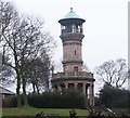
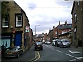
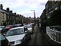
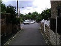
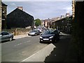
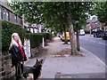
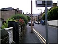
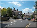
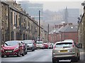
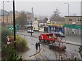
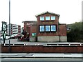
40 photos from this area
Area Information
Key information about the S70 1PF including its size, population, and administrative classification.
- Area Type
- Postcode
- Area Size
- 4079 m²
- Population
- 1876
- Population Density
- 3955 people/km²
House Prices in S70 1PF
28
Properties
£57,747
Average Sold Price
£14,000
Lowest Price
£109,000
Highest Price
Showing 28 properties
| Address | Type | Beds | Baths | Last Sale Price | Last Sale Date | |
|---|---|---|---|---|---|---|
| 92 Princess Street, Barnsley, S70 1PF | Terraced | 3 | - | £109,000 | Mar 2025 | |
| 107 Princess Street, Barnsley, S70 1PF | Terraced | 3 | 1 | £104,950 | Jan 2024 | |
| 115 Princess Street, Barnsley, S70 1PF | Terraced | 2 | 1 | £84,000 | Nov 2023 | |
| 88 Princess Street, Barnsley, S70 1PF | Terraced | 3 | 1 | £70,000 | Feb 2020 | |
| 91 Princess Street, Barnsley, S70 1PF | Terraced | 2 | 1 | £53,000 | Oct 2019 | |
| 99 Princess Street, Barnsley, S70 1PF | house | 3 | - | £67,000 | Mar 2019 | |
| 101 Princess Street, Barnsley, S70 1PF | Terraced | 3 | 1 | £45,000 | Feb 2019 | |
| 90 Princess Street, Barnsley, S70 1PF | house | - | - | £64,000 | Apr 2017 | |
| 102 Princess Street, Barnsley, S70 1PF | Terraced | 3 | - | £74,000 | Jul 2015 | |
| 111 Princess Street, Barnsley, S70 1PF | Terraced | 2 | 1 | £61,000 | Mar 2013 |
Page 1 of 3
Energy Efficiency in S70 1PF
Amenities
Schools
| Rank | School | Type | Entry gender | Ages |
|---|
Explore more schools in this area
Go to Schools tabDemographics
Household Size
One person
most common
Accommodation Type
Houses
most common
Tenure
42
majority
Ethnic Group
White
most common
Religion
N/A
most common
Household Composition
N/A
most common
Age
47
median
Adults (30-64 years)
most common
Household Deprivation
N/A
with no deprivation
NS-SEC
18
in Lower managerial occupations
Explore more demographic insights in this area
Go to Demographics tabPlanning
Planning Constraints
- Flood RiskPremium
- Ramsar Wetland SitesPremium
- Area of Outstanding Natural BeautyPremium
- Protected Nature ReservePremium
- Protected WoodlandPremium