Area Overview for S7 1DS
Photos of S7 1DS
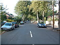
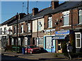
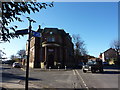

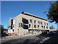
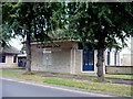
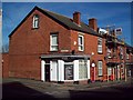
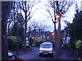
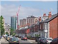
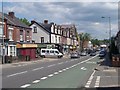
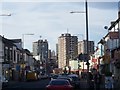
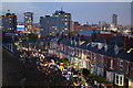
100 photos from this area
Area Information
Key information about the S7 1DS including its size, population, and administrative classification.
- Area Type
- Postcode
- Area Size
- 1.3 hectares
- Population
- 2854
- Population Density
- 15838 people/km²
House Prices in S7 1DS
54
Properties
£381,443
Average Sold Price
£68,000
Lowest Price
£675,000
Highest Price
Showing 54 properties
| Address | Type | Beds | Baths | Last Sale Price | Last Sale Date | |
|---|---|---|---|---|---|---|
| 28 Steade Road, Sheffield, S7 1DS | Detached | 3 | 1 | £545,000 | Jul 2025 | |
| 26 Steade Road, Sheffield, S7 1DS | house | - | - | £657,300 | Apr 2025 | |
| 37 Steade Road, Sheffield, S7 1DS | Detached | 4 | 3 | £675,000 | Mar 2025 | |
| 20 Steade Road, Sheffield, S7 1DS | Terraced | 4 | 2 | £485,000 | Nov 2024 | |
| 11 Steade Road, Sheffield, S7 1DS | Detached | 5 | 2 | £620,000 | Nov 2023 | |
| 30 Steade Road, Sheffield, S7 1DS | Detached | 3 | 1 | £549,000 | May 2023 | |
| 49 Steade Road, Sheffield, S7 1DS | house | 5 | 1 | £581,500 | Jun 2022 | |
| 10 Steade Road, Sheffield, S7 1DS | Semi-detached | - | - | £373,000 | Jun 2022 | |
| 47 Steade Road, Sheffield, S7 1DS | Retail | 4 | 2 | £562,057 | Apr 2022 | |
| 15 Steade Road, Sheffield, S7 1DS | Flat | - | - | £325,000 | Nov 2021 |
Page 1 of 6
Energy Efficiency in S7 1DS
Amenities
Schools
| Rank | School | Type | Entry gender | Ages |
|---|
Explore more schools in this area
Go to Schools tabDemographics
Household Size
One person
most common
Accommodation Type
Houses
most common
Tenure
35
majority
Ethnic Group
White
most common
Religion
N/A
most common
Household Composition
N/A
most common
Age
22
median
Young Adults (15-29 years)
most common
Household Deprivation
N/A
with no deprivation
NS-SEC
13
in Lower managerial occupations
Explore more demographic insights in this area
Go to Demographics tabPlanning
Planning Constraints
- Flood RiskPremium
- Ramsar Wetland SitesPremium
- Area of Outstanding Natural BeautyPremium
- Protected Nature ReservePremium
- Protected WoodlandPremium