Area Overview for S66 7AA
Photos of S66 7AA
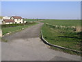
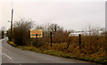
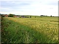
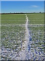
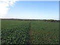
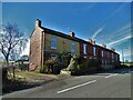
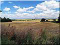
11 photos from this area
Area Information
Key information about the S66 7AA including its size, population, and administrative classification.
- Area Type
- Postcode
- Area Size
- 61.4 hectares
- Population
- 1626
- Population Density
- 57 people/km²
House Prices in S66 7AA
6
Properties
£236,500
Average Sold Price
£152,000
Lowest Price
£365,000
Highest Price
Showing 6 properties
| Address | Type | Beds | Baths | Last Sale Price | Last Sale Date | |
|---|---|---|---|---|---|---|
| Hall Barn, Fish Pond Lane, Braithwell, Doncaster, S66 7AA | Terraced | 3 | - | £365,000 | Jun 2010 | |
| The Granary, Fish Pond Lane, Braithwell, Doncaster, S66 7AA | Terraced | - | - | £192,500 | Oct 1999 | |
| Springvale Cottage, Holywell Lane, Braithwell, Doncaster, S66 7AA | Detached | - | - | £152,000 | Sep 1999 | |
| Lambcote Grange, Fish Pond Lane, Braithwell, Doncaster, S66 7AA | Detached | - | - | - | - | |
| Lambcote Grange Cottage, Fish Pond Lane, Braithwell, Doncaster, S66 7AA | Detached | - | - | - | - | |
| Storage Buildings At, Lambcote Grange, Fish Pond Lane, Braithwell, Doncaster, S66 7AA | warehouse | - | - | - | - |
Energy Efficiency in S66 7AA
Amenities
Schools
| Rank | School | Type | Entry gender | Ages |
|---|
Explore more schools in this area
Go to Schools tabDemographics
Household Size
Two person
most common
Accommodation Type
Houses
most common
Tenure
83
majority
Ethnic Group
White
most common
Religion
N/A
most common
Household Composition
N/A
most common
Age
47
median
Adults (30-64 years)
most common
Household Deprivation
N/A
with no deprivation
NS-SEC
39
in Lower managerial occupations
Explore more demographic insights in this area
Go to Demographics tabPlanning
Planning Constraints
- Flood RiskPremium
- Ramsar Wetland SitesPremium
- Area of Outstanding Natural BeautyPremium
- Protected Nature ReservePremium
- Protected WoodlandPremium