Area Overview for S66 1EX
Photos of S66 1EX
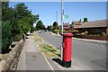
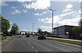
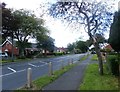
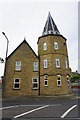
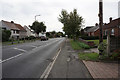
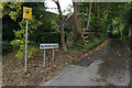
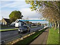
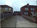
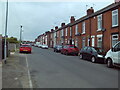
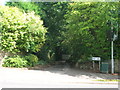
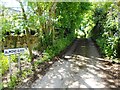
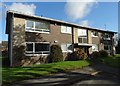
17 photos from this area
Area Information
Key information about the S66 1EX including its size, population, and administrative classification.
- Area Type
- Postcode
- Area Size
- 1.1 hectares
- Population
- 1589
- Population Density
- 1537 people/km²
House Prices in S66 1EX
16
Properties
£354,182
Average Sold Price
£146,000
Lowest Price
£530,000
Highest Price
Showing 16 properties
| Address | Type | Beds | Baths | Last Sale Price | Last Sale Date | |
|---|---|---|---|---|---|---|
| 24 Gill Close, Wickersley, Rotherham, S66 1EX | Bungalow | 2 | 1 | £435,000 | May 2025 | |
| 12 Gill Close, Wickersley, Rotherham, S66 1EX | Bungalow | 3 | 1 | £375,000 | Jan 2025 | |
| 18 Gill Close, Wickersley, Rotherham, S66 1EX | Bungalow | 4 | 1 | £520,000 | Jan 2023 | |
| 16 Gill Close, Wickersley, Rotherham, S66 1EX | Bungalow | 4 | 2 | £525,000 | Dec 2022 | |
| 14 Gill Close, Wickersley, Rotherham, S66 1EX | Bungalow | 3 | - | £530,000 | Sep 2021 | |
| 3 Gill Close, Wickersley, Rotherham, S66 1EX | Detached | 4 | - | £310,000 | Jan 2017 | |
| 8 Gill Close, Wickersley, Rotherham, S66 1EX | Bungalow | 3 | - | £350,000 | Dec 2016 | |
| 10 Gill Close, Wickersley, Rotherham, S66 1EX | Bungalow | - | - | £275,000 | Jul 2012 | |
| 6 Gill Close, Wickersley, Rotherham, S66 1EX | Bungalow | 3 | - | £250,000 | Apr 2006 | |
| 1 Gill Close, Wickersley, Rotherham, S66 1EX | Detached | - | - | £180,000 | Jan 2006 |
Page 1 of 2
Energy Efficiency in S66 1EX
Amenities
Schools
| Rank | School | Type | Entry gender | Ages |
|---|
Explore more schools in this area
Go to Schools tabDemographics
Household Size
Two person
most common
Accommodation Type
Houses
most common
Tenure
77
majority
Ethnic Group
White
most common
Religion
N/A
most common
Household Composition
N/A
most common
Age
47
median
Adults (30-64 years)
most common
Household Deprivation
N/A
with no deprivation
NS-SEC
40
in Lower managerial occupations
Explore more demographic insights in this area
Go to Demographics tabPlanning
Planning Constraints
- Flood RiskPremium
- Ramsar Wetland SitesPremium
- Area of Outstanding Natural BeautyPremium
- Protected Nature ReservePremium
- Protected WoodlandPremium