Area Overview for S65 4RF
Photos of S65 4RF
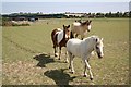
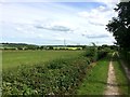
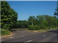
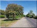
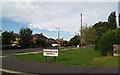
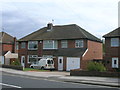
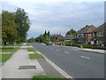
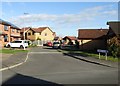
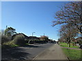
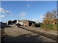
10 photos from this area
Area Information
Key information about the S65 4RF including its size, population, and administrative classification.
- Area Type
- Postcode
- Area Size
- 9145 m²
- Population
- 2028
- Population Density
- 789 people/km²
House Prices in S65 4RF
18
Properties
£166,266
Average Sold Price
£78,995
Lowest Price
£361,871
Highest Price
Showing 18 properties
| Address | Type | Beds | Baths | Last Sale Price | Last Sale Date | |
|---|---|---|---|---|---|---|
| 3 Blackthorn Rise, Ravenfield, Rotherham, S65 4RF | Detached | 4 | 2 | £340,000 | May 2025 | |
| 18 Blackthorn Rise, Ravenfield, Rotherham, S65 4RF | house | - | - | £361,871 | Sep 2021 | |
| 9 Blackthorn Rise, Ravenfield, Rotherham, S65 4RF | Detached | 4 | - | £250,000 | Aug 2019 | |
| 10 Blackthorn Rise, Ravenfield, Rotherham, S65 4RF | Detached | 4 | - | £240,000 | Aug 2017 | |
| 12 Blackthorn Rise, Ravenfield, Rotherham, S65 4RF | house | - | - | £295,000 | Nov 2016 | |
| 5 Blackthorn Rise, Ravenfield, Rotherham, S65 4RF | Detached | 4 | - | £198,000 | Jul 2016 | |
| 11 Blackthorn Rise, Ravenfield, Rotherham, S65 4RF | house | - | - | £205,000 | Dec 2010 | |
| 4 Blackthorn Rise, Ravenfield, Rotherham, S65 4RF | house | - | - | £180,000 | Apr 2009 | |
| 16 Blackthorn Rise, Ravenfield, Rotherham, S65 4RF | Detached | - | - | £124,950 | Aug 2002 | |
| 7 Blackthorn Rise, Ravenfield, Rotherham, S65 4RF | Detached | - | - | £103,500 | May 2001 |
Page 1 of 2
Energy Efficiency in S65 4RF
Amenities
Schools
| Rank | School | Type | Entry gender | Ages |
|---|
Explore more schools in this area
Go to Schools tabDemographics
Household Size
Two person
most common
Accommodation Type
Houses
most common
Tenure
84
majority
Ethnic Group
White
most common
Religion
N/A
most common
Household Composition
N/A
most common
Age
47
median
Adults (30-64 years)
most common
Household Deprivation
N/A
with no deprivation
NS-SEC
35
in Lower managerial occupations
Explore more demographic insights in this area
Go to Demographics tabPlanning
Planning Constraints
- Flood RiskPremium
- Ramsar Wetland SitesPremium
- Area of Outstanding Natural BeautyPremium
- Protected Nature ReservePremium
- Protected WoodlandPremium