Area Overview for S65 4LD
Photos of S65 4LD
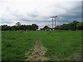
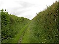
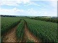
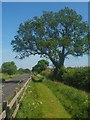
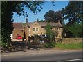
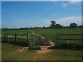
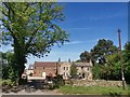
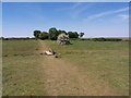
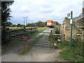
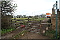
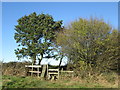
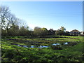
16 photos from this area
Area Information
Key information about the S65 4LD including its size, population, and administrative classification.
- Area Type
- Postcode
- Area Size
- 9.2 hectares
- Population
- 2028
- Population Density
- 789 people/km²
House Prices in S65 4LD
38
Properties
£197,672
Average Sold Price
£116,000
Lowest Price
£286,000
Highest Price
Showing 38 properties
| Address | Type | Beds | Baths | Last Sale Price | Last Sale Date | |
|---|---|---|---|---|---|---|
| 17 Radford Close, Ravenfield, Rotherham, S65 4LD | Bungalow | - | - | £286,000 | Jul 2024 | |
| 19 Radford Close, Ravenfield, Rotherham, S65 4LD | Bungalow | 2 | 1 | £270,000 | Jul 2022 | |
| 9 Radford Close, Ravenfield, Rotherham, S65 4LD | Bungalow | - | - | £255,000 | Dec 2021 | |
| Marcroft, Radford Close, Ravenfield, Rotherham, S65 4LD | Bungalow | 2 | 1 | £212,000 | Dec 2020 | |
| 18 Radford Close, Ravenfield, Rotherham, S65 4LD | Bungalow | 2 | 1 | £235,000 | Oct 2020 | |
| 28 Radford Close, Ravenfield, Rotherham, S65 4LD | Bungalow | - | - | £210,000 | Sep 2019 | |
| 36 Radford Close, Ravenfield, Rotherham, S65 4LD | Bungalow | - | - | £230,000 | Apr 2019 | |
| 22 Radford Close, Ravenfield, Rotherham, S65 4LD | Bungalow | - | - | £190,000 | Dec 2018 | |
| 23 Radford Close, Ravenfield, Rotherham, S65 4LD | Semi-detached | 2 | 1 | £151,000 | Aug 2016 | |
| 11 Radford Close, Ravenfield, Rotherham, S65 4LD | Bungalow | - | - | £167,500 | Mar 2012 |
Page 1 of 4
Energy Efficiency in S65 4LD
Amenities
Schools
| Rank | School | Type | Entry gender | Ages |
|---|
Explore more schools in this area
Go to Schools tabDemographics
Household Size
Two person
most common
Accommodation Type
Houses
most common
Tenure
84
majority
Ethnic Group
White
most common
Religion
N/A
most common
Household Composition
N/A
most common
Age
47
median
Adults (30-64 years)
most common
Household Deprivation
N/A
with no deprivation
NS-SEC
35
in Lower managerial occupations
Explore more demographic insights in this area
Go to Demographics tabPlanning
Planning Constraints
- Flood RiskPremium
- Ramsar Wetland SitesPremium
- Area of Outstanding Natural BeautyPremium
- Protected Nature ReservePremium
- Protected WoodlandPremium