Area Overview for S65 3JQ
Photos of S65 3JQ
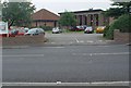
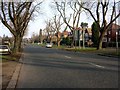
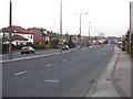
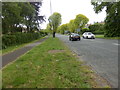
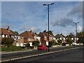
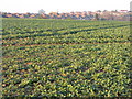
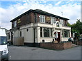
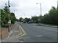
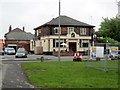
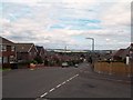
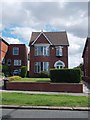
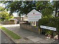
22 photos from this area
Area Information
Key information about the S65 3JQ including its size, population, and administrative classification.
- Area Type
- Postcode
- Area Size
- 1.1 hectares
- Population
- 1478
- Population Density
- 4692 people/km²
House Prices in S65 3JQ
26
Properties
£153,473
Average Sold Price
£54,950
Lowest Price
£265,000
Highest Price
Showing 26 properties
| Address | Type | Beds | Baths | Last Sale Price | Last Sale Date | |
|---|---|---|---|---|---|---|
| 51 Brecks Lane, Herringthorpe, Rotherham, S65 3JQ | house | 3 | - | £250,000 | Sep 2025 | |
| 45 Brecks Lane, Herringthorpe, Rotherham, S65 3JQ | Semi-detached | 3 | 1 | £180,000 | Jul 2024 | |
| 47 Brecks Lane, Herringthorpe, Rotherham, S65 3JQ | Semi-detached | 3 | 1 | £265,000 | Apr 2024 | |
| 46 Brecks Lane, Herringthorpe, Rotherham, S65 3JQ | Semi-detached | 3 | 1 | £235,000 | Jan 2022 | |
| 32 Brecks Lane, Herringthorpe, Rotherham, S65 3JQ | Semi-detached | 3 | - | £183,000 | Dec 2014 | |
| 37 Brecks Lane, Herringthorpe, Rotherham, S65 3JQ | Semi-detached | 3 | - | £179,750 | Jan 2014 | |
| 30 Brecks Lane, Herringthorpe, Rotherham, S65 3JQ | house | 3 | - | £166,000 | Jul 2012 | |
| 40 Brecks Lane, Herringthorpe, Rotherham, S65 3JQ | house | - | - | £185,000 | Aug 2010 | |
| 42 Brecks Lane, Herringthorpe, Rotherham, S65 3JQ | Semi-detached | - | - | £91,000 | Sep 2002 | |
| 33 Brecks Lane, Herringthorpe, Rotherham, S65 3JQ | Semi-detached | - | - | £85,500 | Jun 2000 |
Page 1 of 3
Energy Efficiency in S65 3JQ
Amenities
Schools
| Rank | School | Type | Entry gender | Ages |
|---|
Explore more schools in this area
Go to Schools tabDemographics
Household Size
Two person
most common
Accommodation Type
Houses
most common
Tenure
92
majority
Ethnic Group
White
most common
Religion
N/A
most common
Household Composition
N/A
most common
Age
47
median
Adults (30-64 years)
most common
Household Deprivation
N/A
with no deprivation
NS-SEC
39
in Lower managerial occupations
Explore more demographic insights in this area
Go to Demographics tabPlanning
Planning Constraints
- Flood RiskPremium
- Ramsar Wetland SitesPremium
- Area of Outstanding Natural BeautyPremium
- Protected Nature ReservePremium
- Protected WoodlandPremium