Area Overview for S65 3AL
Photos of S65 3AL
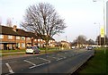
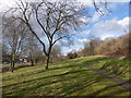
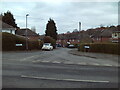
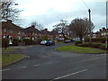
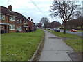
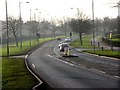
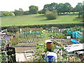
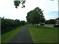
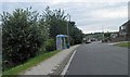
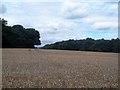

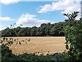
13 photos from this area
Area Information
Key information about the S65 3AL including its size, population, and administrative classification.
- Area Type
- Postcode
- Area Size
- 1.3 hectares
- Population
- 1554
- Population Density
- 2160 people/km²
House Prices in S65 3AL
20
Properties
£148,288
Average Sold Price
£55,000
Lowest Price
£230,000
Highest Price
Showing 20 properties
| Address | Type | Beds | Baths | Last Sale Price | Last Sale Date | |
|---|---|---|---|---|---|---|
| 100 Woodall Road South, Herringthorpe, Rotherham, S65 3AL | Semi-detached | 3 | 1 | £215,000 | May 2025 | |
| 106 Woodall Road South, Herringthorpe, Rotherham, S65 3AL | house | - | - | £230,000 | Jan 2021 | |
| 96 Woodall Road South, Herringthorpe, Rotherham, S65 3AL | Semi-detached | 3 | 1 | £132,500 | Aug 2019 | |
| 116 Woodall Road South, Herringthorpe, Rotherham, S65 3AL | Detached | 3 | - | £197,000 | Mar 2017 | |
| 114 Woodall Road South, Herringthorpe, Rotherham, S65 3AL | Semi-detached | 3 | - | £152,000 | Sep 2016 | |
| 97 Woodall Road South, Herringthorpe, Rotherham, S65 3AL | Semi-detached | 4 | - | £190,000 | Sep 2013 | |
| 92 Woodall Road South, Herringthorpe, Rotherham, S65 3AL | house | - | - | £155,000 | May 2013 | |
| 99 Woodall Road South, Herringthorpe, Rotherham, S65 3AL | house | - | - | £184,210 | Jul 2011 | |
| 110 Woodall Road South, Herringthorpe, Rotherham, S65 3AL | Semi-detached | - | - | £122,000 | Feb 2006 | |
| 104 Woodall Road South, Herringthorpe, Rotherham, S65 3AL | house | - | - | £65,000 | Mar 2001 |
Page 1 of 2
Energy Efficiency in S65 3AL
Amenities
Schools
| Rank | School | Type | Entry gender | Ages |
|---|
Explore more schools in this area
Go to Schools tabDemographics
Household Size
Two person
most common
Accommodation Type
Houses
most common
Tenure
91
majority
Ethnic Group
White
most common
Religion
N/A
most common
Household Composition
N/A
most common
Age
47
median
Adults (30-64 years)
most common
Household Deprivation
N/A
with no deprivation
NS-SEC
36
in Lower managerial occupations
Explore more demographic insights in this area
Go to Demographics tabPlanning
Planning Constraints
- Flood RiskPremium
- Ramsar Wetland SitesPremium
- Area of Outstanding Natural BeautyPremium
- Protected Nature ReservePremium
- Protected WoodlandPremium