Area Overview for S65 2RU
Photos of S65 2RU

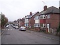
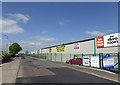
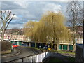
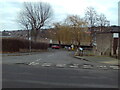
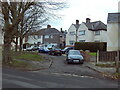
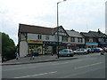
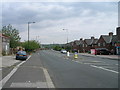
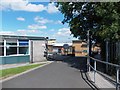

13 photos from this area
Area Information
Key information about the S65 2RU including its size, population, and administrative classification.
- Area Type
- Postcode
- Area Size
- 7008 m²
- Population
- 1525
- Population Density
- 5638 people/km²
House Prices in S65 2RU
18
Properties
£93,956
Average Sold Price
£26,850
Lowest Price
£140,000
Highest Price
Showing 18 properties
| Address | Type | Beds | Baths | Last Sale Price | Last Sale Date | |
|---|---|---|---|---|---|---|
| 64 Far Lane, East Dene, Rotherham, S65 2RU | Semi-detached | 3 | 1 | £130,000 | Feb 2025 | |
| 52 Far Lane, East Dene, Rotherham, S65 2RU | Semi-detached | 3 | 1 | £140,000 | Jan 2023 | |
| 48 Far Lane, East Dene, Rotherham, S65 2RU | Retail | 3 | - | £130,000 | May 2022 | |
| 68 Far Lane, East Dene, Rotherham, S65 2RU | Semi-detached | 3 | 1 | £111,000 | Mar 2022 | |
| 58 Far Lane, East Dene, Rotherham, S65 2RU | house | - | - | £102,750 | Oct 2021 | |
| 66 Far Lane, East Dene, Rotherham, S65 2RU | Semi-detached | 3 | 1 | £70,000 | Mar 2018 | |
| 31 Far Lane, East Dene, Rotherham, S65 2RU | Semi-detached | - | - | £102,000 | Jan 2007 | |
| 25 Far Lane, East Dene, Rotherham, S65 2RU | Semi-detached | 3 | - | £33,000 | Nov 1996 | |
| 62 Far Lane, East Dene, Rotherham, S65 2RU | Semi-detached | - | - | £26,850 | Feb 1995 | |
| 29 Far Lane, East Dene, Rotherham, S65 2RU | Semi-detached | - | - | - | - |
Page 1 of 2
Energy Efficiency in S65 2RU
Amenities
Schools
| Rank | School | Type | Entry gender | Ages |
|---|
Explore more schools in this area
Go to Schools tabDemographics
Household Size
One person
most common
Accommodation Type
Houses
most common
Tenure
37
majority
Ethnic Group
White
most common
Religion
N/A
most common
Household Composition
N/A
most common
Age
47
median
Adults (30-64 years)
most common
Household Deprivation
N/A
with no deprivation
NS-SEC
11
in Lower managerial occupations
Explore more demographic insights in this area
Go to Demographics tabPlanning
Planning Constraints
- Flood RiskPremium
- Ramsar Wetland SitesPremium
- Area of Outstanding Natural BeautyPremium
- Protected Nature ReservePremium
- Protected WoodlandPremium