Area Overview for S65 2AG
Photos of S65 2AG
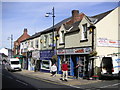
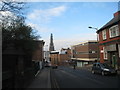
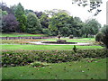
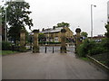
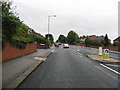
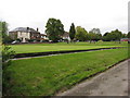
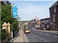
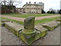

62 photos from this area
Area Information
Key information about the S65 2AG including its size, population, and administrative classification.
- Area Type
- Postcode
- Area Size
- 3608 m²
- Population
- 2249
- Population Density
- 1483 people/km²
House Prices in S65 2AG
9
Properties
£62,283
Average Sold Price
£10,000
Lowest Price
£168,000
Highest Price
Showing 9 properties
| Address | Type | Beds | Baths | Last Sale Price | Last Sale Date | |
|---|---|---|---|---|---|---|
| Former Ebenezer Wesleyan Church, Clifton Terrace, Clifton, Rotherham, S65 2AG | Detached | - | - | £45,000 | Mar 2017 | |
| 7 Clifton Terrace, Clifton, Rotherham, S65 2AG | Cottage | 2 | 1 | £43,550 | Jun 2015 | |
| 21 Clifton Terrace, Clifton, Rotherham, S65 2AG | house | - | - | £98,000 | Dec 2008 | |
| 8 Clifton Terrace, Clifton, Rotherham, S65 2AG | Terraced | - | - | £115,000 | Nov 2006 | |
| 22 Clifton Terrace, Clifton, Rotherham, S65 2AG | Semi-detached | - | - | £168,000 | Nov 2006 | |
| 5 Clifton Terrace, Clifton, Rotherham, S65 2AG | Terraced | - | - | £42,000 | Apr 2003 | |
| 6 Clifton Terrace, Clifton, Rotherham, S65 2AG | house | - | - | £29,000 | May 2002 | |
| 37 Clifton Terrace, Clifton, Rotherham, S65 2AG | house | - | - | £10,000 | Aug 1995 | |
| 38 Clifton Terrace, Clifton, Rotherham, S65 2AG | house | - | - | £10,000 | Jun 1995 |
Energy Efficiency in S65 2AG
Amenities
Schools
| Rank | School | Type | Entry gender | Ages |
|---|
Explore more schools in this area
Go to Schools tabDemographics
Household Size
One person
most common
Accommodation Type
Flats
most common
Tenure
19
majority
Ethnic Group
White
most common
Religion
N/A
most common
Household Composition
N/A
most common
Age
47
median
Adults (30-64 years)
most common
Household Deprivation
N/A
with no deprivation
NS-SEC
16
in Lower managerial occupations
Explore more demographic insights in this area
Go to Demographics tabPlanning
Planning Constraints
- Flood RiskPremium
- Ramsar Wetland SitesPremium
- Area of Outstanding Natural BeautyPremium
- Protected Nature ReservePremium
- Protected WoodlandPremium