Area Overview for S64 9DE
Photos of S64 9DE
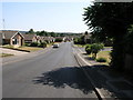
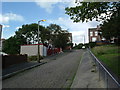
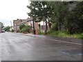
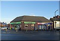

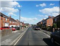

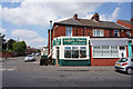
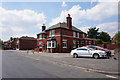
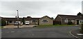
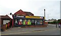

23 photos from this area
Area Information
Key information about the S64 9DE including its size, population, and administrative classification.
- Area Type
- Postcode
- Area Size
- 1.2 hectares
- Population
- 1652
- Population Density
- 5089 people/km²
House Prices in S64 9DE
56
Properties
£65,866
Average Sold Price
£19,750
Lowest Price
£175,000
Highest Price
Showing 56 properties
| Address | Type | Beds | Baths | Last Sale Price | Last Sale Date | |
|---|---|---|---|---|---|---|
| Carlyle House, Carlyle Street, Mexborough, Doncaster, S64 9DE | Semi-detached | 3 | 1 | £166,700 | Dec 2024 | |
| 36 Carlyle Street, Mexborough, Doncaster, S64 9DE | Terraced | 2 | 1 | £85,000 | Aug 2024 | |
| Cooper House, Carlyle Street, Mexborough, Doncaster, S64 9DE | house | - | - | £117,000 | Jul 2023 | |
| 38 Carlyle Street, Mexborough, Doncaster, S64 9DE | Terraced | 2 | 1 | £78,000 | Nov 2022 | |
| 25 Carlyle Street, Mexborough, Doncaster, S64 9DE | house | - | - | £175,000 | Sep 2021 | |
| 40 Carlyle Street, Mexborough, Doncaster, S64 9DE | Terraced | 2 | 1 | £71,000 | Sep 2020 | |
| 44 Carlyle Street, Mexborough, Doncaster, S64 9DE | Terraced | 2 | 1 | £65,000 | Dec 2019 | |
| 18 Carlyle Street, Mexborough, Doncaster, S64 9DE | Terraced | 3 | - | £67,000 | Aug 2019 | |
| 15 Carlyle Street, Mexborough, Doncaster, S64 9DE | Terraced | 2 | - | £46,500 | May 2018 | |
| 42 Carlyle Street, Mexborough, Doncaster, S64 9DE | Terraced | 2 | 1 | £43,000 | Nov 2017 |
Page 1 of 6
Energy Efficiency in S64 9DE
Amenities
Schools
| Rank | School | Type | Entry gender | Ages |
|---|
Explore more schools in this area
Go to Schools tabDemographics
Household Size
Two person
most common
Accommodation Type
Houses
most common
Tenure
57
majority
Ethnic Group
White
most common
Religion
N/A
most common
Household Composition
N/A
most common
Age
47
median
Adults (30-64 years)
most common
Household Deprivation
N/A
with no deprivation
NS-SEC
21
in Lower managerial occupations
Explore more demographic insights in this area
Go to Demographics tabPlanning
Planning Constraints
- Flood RiskPremium
- Ramsar Wetland SitesPremium
- Area of Outstanding Natural BeautyPremium
- Protected Nature ReservePremium
- Protected WoodlandPremium