Area Overview for S64 8QJ
Photos of S64 8QJ
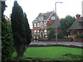
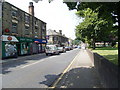
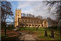
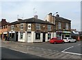
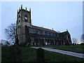
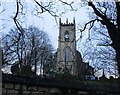
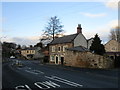
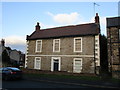
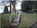
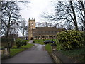
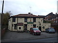
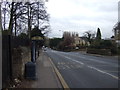
20 photos from this area
Area Information
Key information about the S64 8QJ including its size, population, and administrative classification.
- Area Type
- Postcode
- Area Size
- 1.6 hectares
- Population
- 1161
- Population Density
- 5779 people/km²
House Prices in S64 8QJ
44
Properties
£102,301
Average Sold Price
£52,955
Lowest Price
£150,000
Highest Price
Showing 44 properties
| Address | Type | Beds | Baths | Last Sale Price | Last Sale Date | |
|---|---|---|---|---|---|---|
| 147 St Johns Road, Swinton, Rotherham, S64 8QJ | Semi-detached | 3 | 1 | £150,000 | Apr 2024 | |
| 79 St Johns Road, Swinton, Rotherham, S64 8QJ | Terraced | 3 | 1 | £140,000 | Oct 2021 | |
| 77 St Johns Road, Swinton, Rotherham, S64 8QJ | house | - | - | £125,000 | Mar 2021 | |
| 145 St Johns Road, Swinton, Rotherham, S64 8QJ | house | - | - | £84,000 | Nov 2016 | |
| 71 St Johns Road, Swinton, Rotherham, S64 8QJ | Semi-detached | 3 | - | £66,500 | Feb 2013 | |
| 67 St Johns Road, Swinton, Rotherham, S64 8QJ | house | - | - | £80,000 | Apr 2010 | |
| 139 St Johns Road, Swinton, Rotherham, S64 8QJ | Terraced | - | - | £119,950 | Nov 2007 | |
| 83 St Johns Road, Swinton, Rotherham, S64 8QJ | Terraced | - | - | £52,955 | Aug 2003 | |
| 36 St Johns Road, Swinton, Rotherham, S64 8QJ | Semi-detached | - | - | - | - | |
| 87 St Johns Road, Swinton, Rotherham, S64 8QJ | Terraced | - | - | - | - |
Page 1 of 5
Energy Efficiency in S64 8QJ
Amenities
Schools
| Rank | School | Type | Entry gender | Ages |
|---|
Explore more schools in this area
Go to Schools tabDemographics
Household Size
One person
most common
Accommodation Type
Houses
most common
Tenure
41
majority
Ethnic Group
White
most common
Religion
N/A
most common
Household Composition
N/A
most common
Age
47
median
Adults (30-64 years)
most common
Household Deprivation
N/A
with no deprivation
NS-SEC
17
in Lower managerial occupations
Explore more demographic insights in this area
Go to Demographics tabPlanning
Planning Constraints
- Flood RiskPremium
- Ramsar Wetland SitesPremium
- Area of Outstanding Natural BeautyPremium
- Protected Nature ReservePremium
- Protected WoodlandPremium