Area Overview for S63 9BB
Photos of S63 9BB
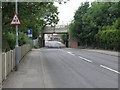
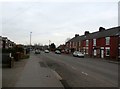
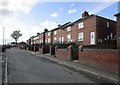
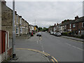
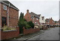
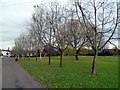
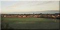
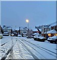
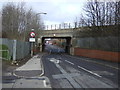
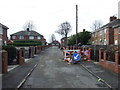
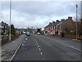
21 photos from this area
Area Information
Key information about the S63 9BB including its size, population, and administrative classification.
- Area Type
- Postcode
- Area Size
- 3.5 hectares
- Population
- 1898
- Population Density
- 1859 people/km²
House Prices in S63 9BB
38
Properties
£138,063
Average Sold Price
£44,950
Lowest Price
£225,000
Highest Price
Showing 38 properties
| Address | Type | Beds | Baths | Last Sale Price | Last Sale Date | |
|---|---|---|---|---|---|---|
| 107 West View Crescent, Goldthorpe, Barnsley, S63 9BB | Bungalow | 2 | - | £215,000 | Apr 2023 | |
| 83 West View Crescent, Goldthorpe, Barnsley, S63 9BB | house | - | - | £195,000 | Dec 2021 | |
| 28 West View Crescent, Goldthorpe, Barnsley, S63 9BB | Bungalow | - | - | £186,000 | Jul 2021 | |
| 26 West View Crescent, Goldthorpe, Barnsley, S63 9BB | Bungalow | 3 | 1 | £225,000 | Dec 2020 | |
| 99 West View Crescent, Goldthorpe, Barnsley, S63 9BB | Bungalow | 3 | - | £209,675 | Jan 2020 | |
| 27 West View Crescent, Goldthorpe, Barnsley, S63 9BB | Bungalow | - | - | £190,000 | Jun 2019 | |
| 20 West View Crescent, Goldthorpe, Barnsley, S63 9BB | Semi-detached | 2 | - | £118,000 | Apr 2019 | |
| 91 West View Crescent, Goldthorpe, Barnsley, S63 9BB | Semi-detached | 2 | - | £120,000 | Sep 2017 | |
| 75 West View Crescent, Goldthorpe, Barnsley, S63 9BB | Detached | 2 | 1 | £95,500 | Apr 2016 | |
| 109 West View Crescent, Goldthorpe, Barnsley, S63 9BB | Detached | 3 | 1 | £190,000 | Sep 2015 |
Page 1 of 4
Energy Efficiency in S63 9BB
Amenities
Schools
| Rank | School | Type | Entry gender | Ages |
|---|
Explore more schools in this area
Go to Schools tabDemographics
Household Size
Two person
most common
Accommodation Type
Houses
most common
Tenure
63
majority
Ethnic Group
White
most common
Religion
N/A
most common
Household Composition
N/A
most common
Age
47
median
Adults (30-64 years)
most common
Household Deprivation
N/A
with no deprivation
NS-SEC
20
in Lower managerial occupations
Explore more demographic insights in this area
Go to Demographics tabPlanning
Planning Constraints
- Flood RiskPremium
- Ramsar Wetland SitesPremium
- Area of Outstanding Natural BeautyPremium
- Protected Nature ReservePremium
- Protected WoodlandPremium