Area Overview for S62 5HN
Photos of S62 5HN
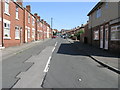

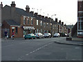
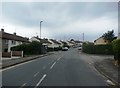
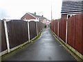
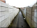
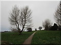
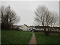
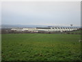
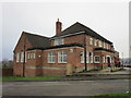
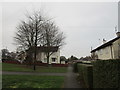
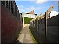
32 photos from this area
Area Information
Key information about the S62 5HN including its size, population, and administrative classification.
- Area Type
- Postcode
- Area Size
- 24.9 hectares
- Population
- 1542
- Population Density
- 1404 people/km²
House Prices in S62 5HN
26
Properties
£111,881
Average Sold Price
£36,000
Lowest Price
£180,000
Highest Price
Showing 26 properties
| Address | Type | Beds | Baths | Last Sale Price | Last Sale Date | |
|---|---|---|---|---|---|---|
| 6 Roundwood Grove, Rawmarsh, Rotherham, S62 5HN | Detached | 3 | 1 | £147,000 | Jul 2025 | |
| 30 Roundwood Grove, Rawmarsh, Rotherham, S62 5HN | Semi-detached | 3 | 1 | £175,000 | May 2025 | |
| 16 Roundwood Grove, Rawmarsh, Rotherham, S62 5HN | Semi-detached | 3 | 1 | £165,000 | Dec 2024 | |
| 26 Roundwood Grove, Rawmarsh, Rotherham, S62 5HN | Semi-detached | 3 | 1 | £180,000 | Jun 2024 | |
| 38 Roundwood Grove, Rawmarsh, Rotherham, S62 5HN | house | - | - | £148,000 | Mar 2022 | |
| 50 Roundwood Grove, Rawmarsh, Rotherham, S62 5HN | house | - | - | £157,500 | Jan 2019 | |
| 52 Roundwood Grove, Rawmarsh, Rotherham, S62 5HN | house | - | - | £145,000 | May 2018 | |
| 40 Roundwood Grove, Rawmarsh, Rotherham, S62 5HN | house | - | - | £120,000 | Aug 2015 | |
| 10 Roundwood Grove, Rawmarsh, Rotherham, S62 5HN | house | - | - | £140,000 | May 2011 | |
| 36 Roundwood Grove, Rawmarsh, Rotherham, S62 5HN | house | - | - | £135,000 | Sep 2009 |
Page 1 of 3
Energy Efficiency in S62 5HN
Amenities
Schools
| Rank | School | Type | Entry gender | Ages |
|---|
Explore more schools in this area
Go to Schools tabDemographics
Household Size
Two person
most common
Accommodation Type
Houses
most common
Tenure
52
majority
Ethnic Group
White
most common
Religion
N/A
most common
Household Composition
N/A
most common
Age
47
median
Adults (30-64 years)
most common
Household Deprivation
N/A
with no deprivation
NS-SEC
21
in Lower managerial occupations
Explore more demographic insights in this area
Go to Demographics tabPlanning
Planning Constraints
- Flood RiskPremium
- Ramsar Wetland SitesPremium
- Area of Outstanding Natural BeautyPremium
- Protected Nature ReservePremium
- Protected WoodlandPremium