Area Overview for S61 2PE
Photos of S61 2PE
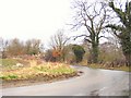
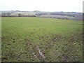

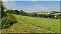
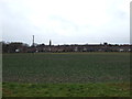
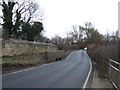
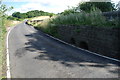
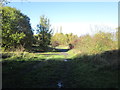
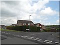
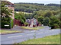
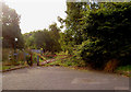
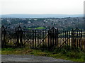
13 photos from this area
Area Information
Key information about the S61 2PE including its size, population, and administrative classification.
- Area Type
- Postcode
- Area Size
- 9101 m²
- Population
- 1320
- Population Density
- 2098 people/km²
House Prices in S61 2PE
25
Properties
£140,103
Average Sold Price
£25,000
Lowest Price
£260,000
Highest Price
Showing 25 properties
| Address | Type | Beds | Baths | Last Sale Price | Last Sale Date | |
|---|---|---|---|---|---|---|
| 15 Fulmar Way, Thorpe Hesley, Rotherham, S61 2PE | Semi-detached | 3 | 2 | £170,000 | May 2021 | |
| 2 Fulmar Way, Thorpe Hesley, Rotherham, S61 2PE | house | - | - | £260,000 | Mar 2020 | |
| 5 Fulmar Way, Thorpe Hesley, Rotherham, S61 2PE | Semi-detached | 2 | 1 | £145,000 | Feb 2019 | |
| 7 Fulmar Way, Thorpe Hesley, Rotherham, S61 2PE | Semi-detached | 2 | 1 | £152,000 | Jun 2017 | |
| 27 Fulmar Way, Thorpe Hesley, Rotherham, S61 2PE | house | - | - | £232,500 | Apr 2014 | |
| 25 Fulmar Way, Thorpe Hesley, Rotherham, S61 2PE | house | 4 | - | £218,500 | Sep 2011 | |
| 14 Fulmar Way, Thorpe Hesley, Rotherham, S61 2PE | house | - | - | £162,950 | Jul 2011 | |
| 3 Fulmar Way, Thorpe Hesley, Rotherham, S61 2PE | Semi-detached | - | - | £120,000 | Jun 2007 | |
| 20 Fulmar Way, Thorpe Hesley, Rotherham, S61 2PE | Detached | - | - | £245,000 | Apr 2007 | |
| 18 Fulmar Way, Thorpe Hesley, Rotherham, S61 2PE | Detached | - | - | £225,000 | Sep 2005 |
Page 1 of 3
Energy Efficiency in S61 2PE
Amenities
Schools
| Rank | School | Type | Entry gender | Ages |
|---|
Explore more schools in this area
Go to Schools tabDemographics
Household Size
Two person
most common
Accommodation Type
Houses
most common
Tenure
94
majority
Ethnic Group
White
most common
Religion
N/A
most common
Household Composition
N/A
most common
Age
47
median
Adults (30-64 years)
most common
Household Deprivation
N/A
with no deprivation
NS-SEC
41
in Lower managerial occupations
Explore more demographic insights in this area
Go to Demographics tabPlanning
Planning Constraints
- Flood RiskPremium
- Ramsar Wetland SitesPremium
- Area of Outstanding Natural BeautyPremium
- Protected Nature ReservePremium
- Protected WoodlandPremium