Area Overview for S60 5UX
Photos of S60 5UX
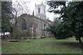
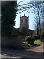
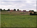
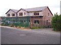
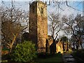
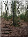
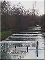
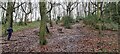
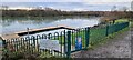
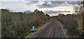
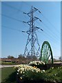
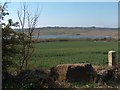
29 photos from this area
Area Information
Key information about the S60 5UX including its size, population, and administrative classification.
- Area Type
- Postcode
- Area Size
- 9.5 hectares
- Population
- 1956
- Population Density
- 1253 people/km²
House Prices in S60 5UX
42
Properties
£126,691
Average Sold Price
£87,125
Lowest Price
£195,000
Highest Price
Showing 42 properties
| Address | Type | Beds | Baths | Last Sale Price | Last Sale Date | |
|---|---|---|---|---|---|---|
| 47 Windle Court, Treeton, Rotherham, S60 5UX | Flat | - | - | £115,000 | Dec 2024 | |
| 41 Windle Court, Treeton, Rotherham, S60 5UX | Flat | 2 | 1 | £120,000 | Nov 2024 | |
| 6 Windle Court, Treeton, Rotherham, S60 5UX | house | - | - | £195,000 | Jul 2024 | |
| 23 Windle Court, Treeton, Rotherham, S60 5UX | Flat | - | - | £115,000 | Apr 2024 | |
| 25 Windle Court, Treeton, Rotherham, S60 5UX | Flat | - | - | £115,000 | Oct 2023 | |
| 51 Windle Court, Treeton, Rotherham, S60 5UX | Flat | 2 | 1 | £117,500 | Sep 2023 | |
| 10 Windle Court, Treeton, Rotherham, S60 5UX | Semi-detached | 3 | 1 | £175,000 | Apr 2023 | |
| 2 Windle Court, Treeton, Rotherham, S60 5UX | Semi-detached | 3 | 1 | £187,000 | Feb 2023 | |
| 5 Windle Court, Treeton, Rotherham, S60 5UX | Retail | 2 | 1 | £190,000 | Nov 2022 | |
| 59 Windle Court, Treeton, Rotherham, S60 5UX | Flat | - | - | £112,000 | Jul 2022 |
Page 1 of 5
Energy Efficiency in S60 5UX
Amenities
Schools
| Rank | School | Type | Entry gender | Ages |
|---|
Explore more schools in this area
Go to Schools tabDemographics
Household Size
Family (3-5 people)
most common
Accommodation Type
Houses
most common
Tenure
76
majority
Ethnic Group
White
most common
Religion
N/A
most common
Household Composition
N/A
most common
Age
47
median
Adults (30-64 years)
most common
Household Deprivation
N/A
with no deprivation
NS-SEC
36
in Lower managerial occupations
Explore more demographic insights in this area
Go to Demographics tabPlanning
Planning Constraints
- Flood RiskPremium
- Ramsar Wetland SitesPremium
- Area of Outstanding Natural BeautyPremium
- Protected Nature ReservePremium
- Protected WoodlandPremium