Area Overview for S60 5NU
Photos of S60 5NU
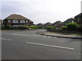
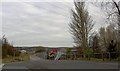
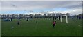
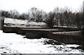
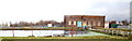
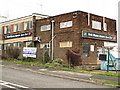
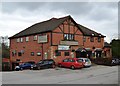
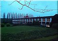
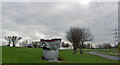
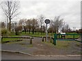
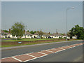
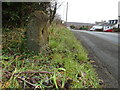
21 photos from this area
Area Information
Key information about the S60 5NU including its size, population, and administrative classification.
- Area Type
- Postcode
- Area Size
- 12.2 hectares
- Population
- 1627
- Population Density
- 487 people/km²
House Prices in S60 5NU
7
Properties
£217,988
Average Sold Price
£51,950
Lowest Price
£360,000
Highest Price
Showing 7 properties
| Address | Type | Beds | Baths | Last Sale Price | Last Sale Date | |
|---|---|---|---|---|---|---|
| Highfields, Bawtry Road, Brinsworth, Rotherham, S60 5NU | house | - | - | £240,000 | Oct 2019 | |
| Malvern House, Bawtry Road, Brinsworth, Rotherham, S60 5NU | Detached | 5 | 2 | £220,000 | Jul 2006 | |
| Linden Lodge, Bawtry Road, Brinsworth, Rotherham, S60 5NU | house | - | - | £360,000 | Mar 2006 | |
| Dawnlands, Bawtry Road, Brinsworth, Rotherham, S60 5NU | house | - | - | £51,950 | Mar 1997 | |
| The Fairways, Bawtry Road, Brinsworth, Rotherham, S60 5NU | restaurant_cafe | - | - | - | - | |
| Windy Ridge, Bawtry Road, Brinsworth, Rotherham, S60 5NU | Detached | - | - | - | - | |
| Living Accomodation, The Fairways, Bawtry Road, Brinsworth, Rotherham, S60 5NU | Flat | - | - | - | - |
Energy Efficiency in S60 5NU
Amenities
Schools
| Rank | School | Type | Entry gender | Ages |
|---|
Explore more schools in this area
Go to Schools tabDemographics
Household Size
Two person
most common
Accommodation Type
Houses
most common
Tenure
52
majority
Ethnic Group
White
most common
Religion
N/A
most common
Household Composition
N/A
most common
Age
47
median
Adults (30-64 years)
most common
Household Deprivation
N/A
with no deprivation
NS-SEC
22
in Lower managerial occupations
Explore more demographic insights in this area
Go to Demographics tabPlanning
Planning Constraints
- Flood RiskPremium
- Ramsar Wetland SitesPremium
- Area of Outstanding Natural BeautyPremium
- Protected Nature ReservePremium
- Protected WoodlandPremium