Area Overview for S60 3NU
Photos of S60 3NU
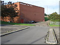
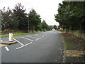
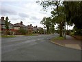
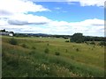

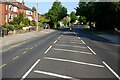
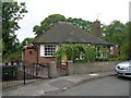

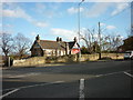
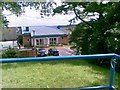
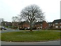
19 photos from this area
Area Information
Key information about the S60 3NU including its size, population, and administrative classification.
- Area Type
- Postcode
- Area Size
- 1.1 hectares
- Population
- 1691
- Population Density
- 4758 people/km²
House Prices in S60 3NU
53
Properties
£94,442
Average Sold Price
£40,000
Lowest Price
£125,000
Highest Price
Showing 53 properties
| Address | Type | Beds | Baths | Last Sale Price | Last Sale Date | |
|---|---|---|---|---|---|---|
| 59, High Trees, Stag Lane, Broom, Rotherham, S60 3NU | Flat | 2 | 1 | £104,000 | Jul 2025 | |
| 45, High Trees, Stag Lane, Broom, Rotherham, S60 3NU | Flat | - | - | £97,000 | Oct 2024 | |
| 25, High Trees, Stag Lane, Broom, Rotherham, S60 3NU | Flat | - | - | £125,000 | Sep 2024 | |
| 32, High Trees, Stag Lane, Broom, Rotherham, S60 3NU | Flat | - | - | £88,750 | Jul 2024 | |
| 51, High Trees, Stag Lane, Broom, Rotherham, S60 3NU | Flat | - | - | £113,000 | Apr 2023 | |
| 50, High Trees, Stag Lane, Broom, Rotherham, S60 3NU | Flat | - | - | £95,000 | Nov 2022 | |
| 56, High Trees, Stag Lane, Broom, Rotherham, S60 3NU | Flat | - | - | £105,000 | Nov 2021 | |
| 3, High Trees, Stag Lane, Broom, Rotherham, S60 3NU | Flat | - | - | £115,000 | Jul 2021 | |
| 23, High Trees, Stag Lane, Broom, Rotherham, S60 3NU | Flat | - | - | £95,000 | May 2021 | |
| 55, High Trees, Stag Lane, Broom, Rotherham, S60 3NU | Detached | 4 | 4 | £92,000 | Oct 2017 |
Page 1 of 6
Energy Efficiency in S60 3NU
Amenities
Schools
| Rank | School | Type | Entry gender | Ages |
|---|
Explore more schools in this area
Go to Schools tabDemographics
Household Size
One person
most common
Accommodation Type
Houses
most common
Tenure
42
majority
Ethnic Group
White
most common
Religion
N/A
most common
Household Composition
N/A
most common
Age
47
median
Adults (30-64 years)
most common
Household Deprivation
N/A
with no deprivation
NS-SEC
17
in Lower managerial occupations
Explore more demographic insights in this area
Go to Demographics tabPlanning
Planning Constraints
- Flood RiskPremium
- Ramsar Wetland SitesPremium
- Area of Outstanding Natural BeautyPremium
- Protected Nature ReservePremium
- Protected WoodlandPremium