Area Overview for S60 1LA
Photos of S60 1LA
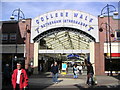
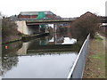
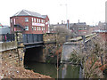
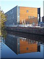
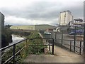
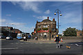
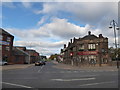
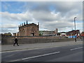
82 photos from this area
Area Information
Key information about the S60 1LA including its size, population, and administrative classification.
- Area Type
- Postcode
- Area Size
- 2862 m²
- Population
- 1945
- Population Density
- 1788 people/km²
House Prices in S60 1LA
19
Properties
£58,625
Average Sold Price
£25,000
Lowest Price
£70,000
Highest Price
Showing 19 properties
| Address | Type | Beds | Baths | Last Sale Price | Last Sale Date | |
|---|---|---|---|---|---|---|
| 98 James Street, Masbrough, Rotherham, S60 1LA | Terraced | 3 | 1 | £70,000 | Mar 2021 | |
| 96 James Street, Masbrough, Rotherham, S60 1LA | Terraced | 4 | 1 | £69,500 | Feb 2021 | |
| 108 James Street, Masbrough, Rotherham, S60 1LA | Terraced | 4 | 1 | £70,000 | Jan 2021 | |
| 106 James Street, Masbrough, Rotherham, S60 1LA | house | - | - | £25,000 | Jan 2002 | |
| Ground Floor Flat, 126 James Street, Masbrough, Rotherham, S60 1LA | Flat | - | - | - | - | |
| 124 James Street, Masbrough, Rotherham, S60 1LA | house | - | - | - | - | |
| 110 James Street, Masbrough, Rotherham, S60 1LA | house | - | - | - | - | |
| 102 James Street, Masbrough, Rotherham, S60 1LA | house | - | - | - | - | |
| 104 James Street, Masbrough, Rotherham, S60 1LA | house | - | - | - | - | |
| First Floor Rear Flat, 126B James Street, Masbrough, Rotherham, S60 1LA | Flat | - | - | - | - |
Page 1 of 2
Energy Efficiency in S60 1LA
Amenities
Schools
| Rank | School | Type | Entry gender | Ages |
|---|
Explore more schools in this area
Go to Schools tabDemographics
Household Size
One person
most common
Accommodation Type
Houses
most common
Tenure
30
majority
Ethnic Group
White
most common
Religion
N/A
most common
Household Composition
N/A
most common
Age
47
median
Adults (30-64 years)
most common
Household Deprivation
N/A
with no deprivation
NS-SEC
10
in Lower managerial occupations
Explore more demographic insights in this area
Go to Demographics tabPlanning
Planning Constraints
- Flood RiskPremium
- Ramsar Wetland SitesPremium
- Area of Outstanding Natural BeautyPremium
- Protected Nature ReservePremium
- Protected WoodlandPremium