Area Overview for S6 6RW
Photos of S6 6RW
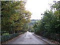
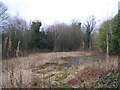
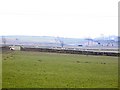
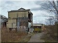
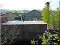
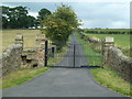
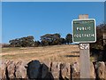
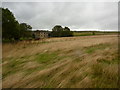
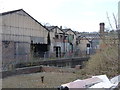
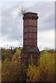
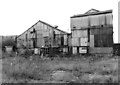
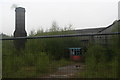
34 photos from this area
Area Information
Key information about the S6 6RW including its size, population, and administrative classification.
- Area Type
- Postcode
- Area Size
- 67.2 hectares
- Population
- 1545
- Population Density
- 964 people/km²
House Prices in S6 6RW
26
Properties
£448,643
Average Sold Price
£190,000
Lowest Price
£690,000
Highest Price
Showing 26 properties
| Address | Type | Beds | Baths | Last Sale Price | Last Sale Date | |
|---|---|---|---|---|---|---|
| Barnfield House, Loxley Road, Sheffield, S6 6RW | hotel | - | - | £690,000 | May 2020 | |
| Clifton House, Loxley Road, Sheffield, S6 6RW | house | - | - | £650,000 | Feb 2018 | |
| Old Coach House, Loxley Road, Sheffield, S6 6RW | Detached | 3 | - | £245,500 | Dec 2017 | |
| Clifton Chase, Loxley Road, Sheffield, S6 6RW | Semi-detached | 4 | 3 | £480,000 | May 2015 | |
| The Manse, Loxley Road, Sheffield, S6 6RW | house | - | - | £385,000 | Aug 2012 | |
| Clifton Dell, Loxley Road, Sheffield, S6 6RW | Semi-detached | - | - | £500,000 | Jan 2012 | |
| Clifton Cottage, Loxley Road, Sheffield, S6 6RW | Detached | - | - | £190,000 | Jul 2005 | |
| The Threshing Barn, Lea Bank Farm, Loxley Road, Sheffield, S6 6RW | Semi-detached | 5 | 4 | - | - | |
| Loxley Manor, Loxley Road, Sheffield, S6 6RW | Office | - | - | - | - | |
| Ivy Cottage, Loxley Road, Sheffield, S6 6RW | Detached | 2 | - | - | - |
Page 1 of 3
Energy Efficiency in S6 6RW
Amenities
Schools
| Rank | School | Type | Entry gender | Ages |
|---|
Explore more schools in this area
Go to Schools tabDemographics
Household Size
Two person
most common
Accommodation Type
Houses
most common
Tenure
80
majority
Ethnic Group
White
most common
Religion
N/A
most common
Household Composition
N/A
most common
Age
47
median
Adults (30-64 years)
most common
Household Deprivation
N/A
with no deprivation
NS-SEC
40
in Lower managerial occupations
Explore more demographic insights in this area
Go to Demographics tabPlanning
Planning Constraints
- Flood RiskPremium
- Ramsar Wetland SitesPremium
- Area of Outstanding Natural BeautyPremium
- Protected Nature ReservePremium
- Protected WoodlandPremium