Area Overview for S6 6DH
Photos of S6 6DH
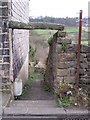
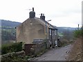
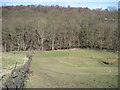
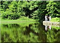
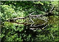
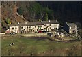
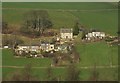
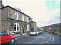
73 photos from this area
Area Information
Key information about the S6 6DH including its size, population, and administrative classification.
- Area Type
- Postcode
- Area Size
- 17.9 hectares
- Population
- 1525
- Population Density
- 659 people/km²
House Prices in S6 6DH
16
Properties
£333,560
Average Sold Price
£124,999
Lowest Price
£800,000
Highest Price
Showing 16 properties
| Address | Type | Beds | Baths | Last Sale Price | Last Sale Date | |
|---|---|---|---|---|---|---|
| Cherry Tree Farm, 37A Nethergate, Sheffield, S6 6DH | house | - | - | £800,000 | Mar 2022 | |
| 25 Nethergate, Sheffield, S6 6DH | Terraced | 2 | 1 | £167,500 | Jul 2021 | |
| 39 Nethergate, Sheffield, S6 6DH | Detached | - | - | £300,000 | Jan 2021 | |
| Speight House Farm, 97 Nethergate, Sheffield, S6 6DH | house | - | - | £782,000 | Nov 2019 | |
| 103 Nethergate, Sheffield, S6 6DH | house | - | - | £485,000 | Feb 2018 | |
| 23 Nethergate, Sheffield, S6 6DH | house | - | - | £124,999 | Dec 2017 | |
| 27 Nethergate, Sheffield, S6 6DH | house | 2 | - | £195,000 | Dec 2016 | |
| 29 Nethergate, Sheffield, S6 6DH | Terraced | - | - | £146,000 | Sep 2007 | |
| 37 Nethergate, Sheffield, S6 6DH | Terraced | 4 | 1 | £170,000 | Jun 2004 | |
| 101 Nethergate, Sheffield, S6 6DH | Semi-detached | - | - | £165,100 | Nov 1998 |
Page 1 of 2
Energy Efficiency in S6 6DH
Amenities
Schools
| Rank | School | Type | Entry gender | Ages |
|---|
Explore more schools in this area
Go to Schools tabDemographics
Household Size
Two person
most common
Accommodation Type
Houses
most common
Tenure
54
majority
Ethnic Group
White
most common
Religion
N/A
most common
Household Composition
N/A
most common
Age
47
median
Adults (30-64 years)
most common
Household Deprivation
N/A
with no deprivation
NS-SEC
29
in Lower managerial occupations
Explore more demographic insights in this area
Go to Demographics tabPlanning
Planning Constraints
- Flood RiskPremium
- Ramsar Wetland SitesPremium
- Area of Outstanding Natural BeautyPremium
- Protected Nature ReservePremium
- Protected WoodlandPremium