Area Overview for S6 5DY
Photos of S6 5DY
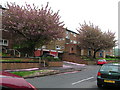
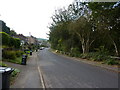
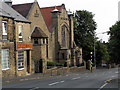
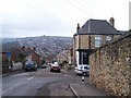
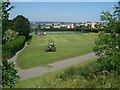
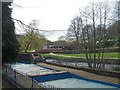
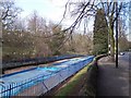
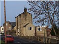
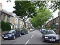
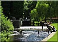
75 photos from this area
Area Information
Key information about the S6 5DY including its size, population, and administrative classification.
- Area Type
- Postcode
- Area Size
- 7227 m²
- Population
- 1464
- Population Density
- 5946 people/km²
House Prices in S6 5DY
22
Properties
£168,782
Average Sold Price
£57,600
Lowest Price
£290,000
Highest Price
Showing 22 properties
| Address | Type | Beds | Baths | Last Sale Price | Last Sale Date | |
|---|---|---|---|---|---|---|
| 17 Robertson Drive, Sheffield, S6 5DY | Semi-detached | 3 | 1 | £212,500 | Mar 2021 | |
| 12 Robertson Drive, Sheffield, S6 5DY | house | - | - | £290,000 | Apr 2020 | |
| 14 Robertson Drive, Sheffield, S6 5DY | house | - | - | £235,000 | Dec 2016 | |
| 22 Robertson Drive, Sheffield, S6 5DY | Terraced | - | - | £198,000 | Oct 2014 | |
| 2 Robertson Drive, Sheffield, S6 5DY | Semi-detached | 3 | 1 | £185,000 | Jun 2014 | |
| 11 Robertson Drive, Sheffield, S6 5DY | house | - | - | £160,000 | Jan 2012 | |
| 9 Robertson Drive, Sheffield, S6 5DY | house | - | - | £159,000 | Aug 2011 | |
| 1 Robertson Drive, Sheffield, S6 5DY | Semi-detached | - | - | £146,500 | Sep 2003 | |
| 20 Robertson Drive, Sheffield, S6 5DY | Terraced | - | - | £125,000 | Aug 2003 | |
| 16 Robertson Drive, Sheffield, S6 5DY | Terraced | - | - | £88,000 | May 2002 |
Page 1 of 3
Energy Efficiency in S6 5DY
Amenities
Schools
| Rank | School | Type | Entry gender | Ages |
|---|
Explore more schools in this area
Go to Schools tabDemographics
Household Size
Two person
most common
Accommodation Type
Houses
most common
Tenure
87
majority
Ethnic Group
White
most common
Religion
N/A
most common
Household Composition
N/A
most common
Age
47
median
Adults (30-64 years)
most common
Household Deprivation
N/A
with no deprivation
NS-SEC
48
in Lower managerial occupations
Explore more demographic insights in this area
Go to Demographics tabPlanning
Planning Constraints
- Flood RiskPremium
- Ramsar Wetland SitesPremium
- Area of Outstanding Natural BeautyPremium
- Protected Nature ReservePremium
- Protected WoodlandPremium