Area Overview for S6 4SD
Photos of S6 4SD
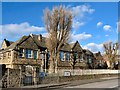
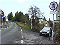
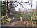
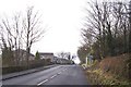
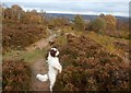
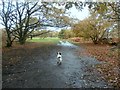
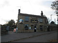
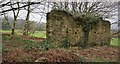
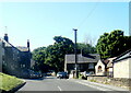
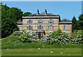
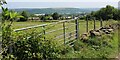
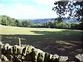
64 photos from this area
Area Information
Key information about the S6 4SD including its size, population, and administrative classification.
- Area Type
- Postcode
- Area Size
- 2.9 hectares
- Population
- 1434
- Population Density
- 4463 people/km²
House Prices in S6 4SD
19
Properties
£200,605
Average Sold Price
£975
Lowest Price
£360,000
Highest Price
Showing 19 properties
| Address | Type | Beds | Baths | Last Sale Price | Last Sale Date | |
|---|---|---|---|---|---|---|
| 236 Ben Lane, Sheffield, S6 4SD | Semi-detached | 3 | 1 | £262,500 | Sep 2024 | |
| 256 Ben Lane, Sheffield, S6 4SD | Detached | 3 | 1 | £360,000 | Jun 2024 | |
| 232B Ben Lane, Sheffield, S6 4SD | Flat | - | - | £42,000 | Jun 2022 | |
| 252 Ben Lane, Sheffield, S6 4SD | Retail | 3 | - | £340,000 | Mar 2022 | |
| 242 Ben Lane, Sheffield, S6 4SD | Detached | - | - | £975 | May 2021 | |
| 262 Ben Lane, Sheffield, S6 4SD | house | - | - | £275,000 | Nov 2017 | |
| 238 Ben Lane, Sheffield, S6 4SD | Semi-detached | 4 | 1 | £205,000 | Jul 2017 | |
| 240 Ben Lane, Sheffield, S6 4SD | house | - | - | £220,000 | Aug 2016 | |
| 260 Ben Lane, Sheffield, S6 4SD | house | - | - | £225,000 | Jun 2013 | |
| 254 Ben Lane, Sheffield, S6 4SD | house | - | - | £160,000 | Mar 2013 |
Page 1 of 2
Energy Efficiency in S6 4SD
Amenities
Schools
| Rank | School | Type | Entry gender | Ages |
|---|
Explore more schools in this area
Go to Schools tabDemographics
Household Size
Two person
most common
Accommodation Type
Houses
most common
Tenure
70
majority
Ethnic Group
White
most common
Religion
N/A
most common
Household Composition
N/A
most common
Age
47
median
Adults (30-64 years)
most common
Household Deprivation
N/A
with no deprivation
NS-SEC
29
in Lower managerial occupations
Explore more demographic insights in this area
Go to Demographics tabPlanning
Planning Constraints
- Flood RiskPremium
- Ramsar Wetland SitesPremium
- Area of Outstanding Natural BeautyPremium
- Protected Nature ReservePremium
- Protected WoodlandPremium