Area Overview for S6 4AR
Photos of S6 4AR
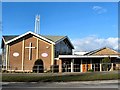
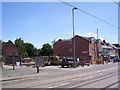
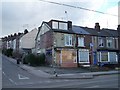
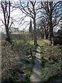


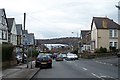
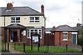

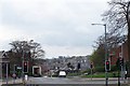
100 photos from this area
Area Information
Key information about the S6 4AR including its size, population, and administrative classification.
- Area Type
- Postcode
- Area Size
- 1.3 hectares
- Population
- 1476
- Population Density
- 4643 people/km²
House Prices in S6 4AR
31
Properties
£202,224
Average Sold Price
£53,000
Lowest Price
£532,500
Highest Price
Showing 31 properties
| Address | Type | Beds | Baths | Last Sale Price | Last Sale Date | |
|---|---|---|---|---|---|---|
| 35 Grove Avenue, Middlewood, Sheffield, S6 4AR | Semi-detached | 3 | 2 | £400,000 | Mar 2025 | |
| 61 Grove Avenue, Middlewood, Sheffield, S6 4AR | Detached | 3 | 1 | £377,000 | Mar 2024 | |
| 13 Grove Avenue, Middlewood, Sheffield, S6 4AR | Retail | 4 | 2 | £532,500 | Oct 2022 | |
| 11 Grove Avenue, Middlewood, Sheffield, S6 4AR | house | 3 | 2 | £345,500 | Jun 2022 | |
| 41 Grove Avenue, Middlewood, Sheffield, S6 4AR | house | - | - | £266,266 | Sep 2019 | |
| 23 Grove Avenue, Middlewood, Sheffield, S6 4AR | house | - | - | £234,000 | Nov 2015 | |
| 9 Grove Avenue, Middlewood, Sheffield, S6 4AR | house | - | - | £205,000 | Sep 2015 | |
| 55 Grove Avenue, Middlewood, Sheffield, S6 4AR | Semi-detached | 3 | - | £214,000 | Oct 2014 | |
| 21 Grove Avenue, Middlewood, Sheffield, S6 4AR | Semi-detached | 5 | 2 | £284,950 | Jun 2014 | |
| 57 Grove Avenue, Middlewood, Sheffield, S6 4AR | Detached | 3 | 1 | £249,950 | May 2014 |
Page 1 of 4
Energy Efficiency in S6 4AR
Amenities
Schools
| Rank | School | Type | Entry gender | Ages |
|---|
Explore more schools in this area
Go to Schools tabDemographics
Household Size
Two person
most common
Accommodation Type
Houses
most common
Tenure
83
majority
Ethnic Group
White
most common
Religion
N/A
most common
Household Composition
N/A
most common
Age
47
median
Adults (30-64 years)
most common
Household Deprivation
N/A
with no deprivation
NS-SEC
40
in Lower managerial occupations
Explore more demographic insights in this area
Go to Demographics tabPlanning
Planning Constraints
- Flood RiskPremium
- Ramsar Wetland SitesPremium
- Area of Outstanding Natural BeautyPremium
- Protected Nature ReservePremium
- Protected WoodlandPremium