Area Overview for S6 2XQ
Photos of S6 2XQ
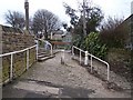
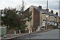
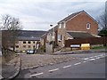
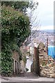
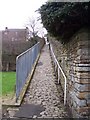
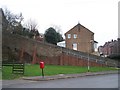
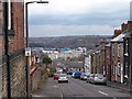
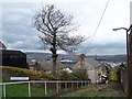
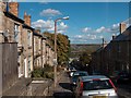
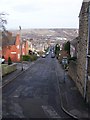
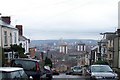
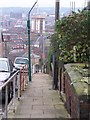
100 photos from this area
Area Information
Key information about the S6 2XQ including its size, population, and administrative classification.
- Area Type
- Postcode
- Area Size
- 4056 m²
- Population
- 1637
- Population Density
- 8535 people/km²
House Prices in S6 2XQ
8
Properties
£257,281
Average Sold Price
£50,000
Lowest Price
£520,000
Highest Price
Showing 8 properties
| Address | Type | Beds | Baths | Last Sale Price | Last Sale Date | |
|---|---|---|---|---|---|---|
| 138 Walkley Road, Sheffield, S6 2XQ | house | - | - | £401,250 | Nov 2023 | |
| 156 Walkley Road, Sheffield, S6 2XQ | house | - | - | £455,000 | Nov 2021 | |
| 142 Walkley Road, Sheffield, S6 2XQ | house | - | - | £135,000 | Mar 2021 | |
| Walkley Vicarage, 150 Walkley Road, Sheffield, S6 2XQ | house | - | - | £520,000 | Jan 2021 | |
| 140 Walkley Road, Sheffield, S6 2XQ | house | 2 | - | £152,000 | Aug 2015 | |
| 136 Walkley Road, Sheffield, S6 2XQ | house | - | - | £220,000 | Apr 2008 | |
| 154 Walkley Road, Sheffield, S6 2XQ | Bungalow | - | - | £125,000 | Sep 2002 | |
| 144 Walkley Road, Sheffield, S6 2XQ | Terraced | - | - | £50,000 | Apr 2000 |
Energy Efficiency in S6 2XQ
Amenities
Schools
| Rank | School | Type | Entry gender | Ages |
|---|
Explore more schools in this area
Go to Schools tabDemographics
Household Size
One person
most common
Accommodation Type
Houses
most common
Tenure
59
majority
Ethnic Group
White
most common
Religion
N/A
most common
Household Composition
N/A
most common
Age
47
median
Adults (30-64 years)
most common
Household Deprivation
N/A
with no deprivation
NS-SEC
46
in Lower managerial occupations
Explore more demographic insights in this area
Go to Demographics tabPlanning
Planning Constraints
- Flood RiskPremium
- Ramsar Wetland SitesPremium
- Area of Outstanding Natural BeautyPremium
- Protected Nature ReservePremium
- Protected WoodlandPremium