Area Overview for S5 9QG
Photos of S5 9QG
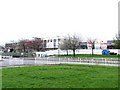
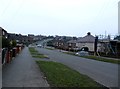
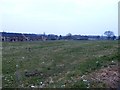
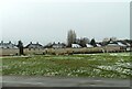
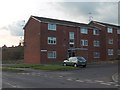
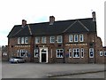
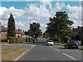
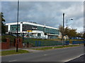
33 photos from this area
Area Information
Key information about the S5 9QG including its size, population, and administrative classification.
- Area Type
- Postcode
- Area Size
- 9343 m²
- Population
- 1290
- Population Density
- 3582 people/km²
House Prices in S5 9QG
31
Properties
£99,421
Average Sold Price
£65,000
Lowest Price
£140,000
Highest Price
Showing 31 properties
| Address | Type | Beds | Baths | Last Sale Price | Last Sale Date | |
|---|---|---|---|---|---|---|
| 516 Deerlands Avenue, Sheffield, S5 9QG | Semi-detached | 4 | 1 | £140,000 | May 2024 | |
| 427 Deerlands Avenue, Sheffield, S5 9QG | Terraced | 2 | 1 | £126,000 | Jan 2024 | |
| 441 Deerlands Avenue, Sheffield, S5 9QG | house | - | - | £100,000 | Dec 2020 | |
| 447 Deerlands Avenue, Sheffield, S5 9QG | house | - | - | £65,000 | Oct 2020 | |
| 502 Deerlands Avenue, Sheffield, S5 9QG | Semi-detached | 3 | - | £65,000 | Sep 2013 | |
| 449 Deerlands Avenue, Sheffield, S5 9QG | house | - | - | £100,000 | Apr 2013 | |
| 518 Deerlands Avenue, Sheffield, S5 9QG | Semi-detached | - | - | £99,950 | Jan 2007 | |
| 423 Deerlands Avenue, Sheffield, S5 9QG | Semi-detached | - | - | - | - | |
| 425 Deerlands Avenue, Sheffield, S5 9QG | house | - | - | - | - | |
| 453 Deerlands Avenue, Sheffield, S5 9QG | Terraced | - | - | - | - |
Page 1 of 4
Energy Efficiency in S5 9QG
Amenities
Schools
| Rank | School | Type | Entry gender | Ages |
|---|
Explore more schools in this area
Go to Schools tabDemographics
Household Size
Family (3-5 people)
most common
Accommodation Type
Houses
most common
Tenure
40
majority
Ethnic Group
White
most common
Religion
N/A
most common
Household Composition
N/A
most common
Age
47
median
Adults (30-64 years)
most common
Household Deprivation
N/A
with no deprivation
NS-SEC
12
in Lower managerial occupations
Explore more demographic insights in this area
Go to Demographics tabPlanning
Planning Constraints
- Flood RiskPremium
- Ramsar Wetland SitesPremium
- Area of Outstanding Natural BeautyPremium
- Protected Nature ReservePremium
- Protected WoodlandPremium