Area Overview for S5 9GZ
Photos of S5 9GZ
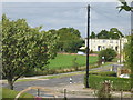
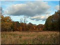
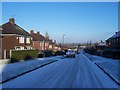
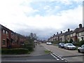
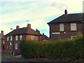
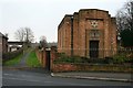
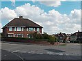
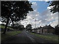
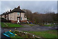
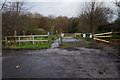
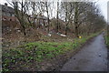
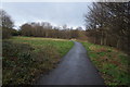
23 photos from this area
Area Information
Key information about the S5 9GZ including its size, population, and administrative classification.
- Area Type
- Postcode
- Area Size
- 1.4 hectares
- Population
- 1432
- Population Density
- 5447 people/km²
House Prices in S5 9GZ
32
Properties
£103,269
Average Sold Price
£27,500
Lowest Price
£240,000
Highest Price
Showing 32 properties
| Address | Type | Beds | Baths | Last Sale Price | Last Sale Date | |
|---|---|---|---|---|---|---|
| 158 Colley Road, Sheffield, S5 9GZ | Semi-detached | 4 | 1 | £240,000 | Nov 2024 | |
| 170 Colley Road, Sheffield, S5 9GZ | Semi-detached | 3 | 2 | £135,000 | Sep 2017 | |
| 140 Colley Road, Sheffield, S5 9GZ | Semi-detached | 2 | - | £87,000 | Dec 2016 | |
| 198 Colley Road, Sheffield, S5 9GZ | Semi-detached | 2 | 1 | £68,000 | Jun 2016 | |
| 182 Colley Road, Sheffield, S5 9GZ | Semi-detached | 2 | - | £85,000 | Feb 2015 | |
| 176 Colley Road, Sheffield, S5 9GZ | house | 3 | - | £89,000 | Apr 2011 | |
| 166 Colley Road, Sheffield, S5 9GZ | house | - | - | £95,000 | Dec 2010 | |
| 186 Colley Road, Sheffield, S5 9GZ | Semi-detached | - | - | £110,000 | Aug 2007 | |
| 146 Colley Road, Sheffield, S5 9GZ | house | - | - | £106,000 | Jul 2006 | |
| 192 Colley Road, Sheffield, S5 9GZ | Semi-detached | - | - | £105,000 | Oct 2005 |
Page 1 of 4
Energy Efficiency in S5 9GZ
Amenities
Schools
| Rank | School | Type | Entry gender | Ages |
|---|
Explore more schools in this area
Go to Schools tabDemographics
Household Size
Family (3-5 people)
most common
Accommodation Type
Houses
most common
Tenure
63
majority
Ethnic Group
White
most common
Religion
N/A
most common
Household Composition
N/A
most common
Age
47
median
Adults (30-64 years)
most common
Household Deprivation
N/A
with no deprivation
NS-SEC
20
in Lower managerial occupations
Explore more demographic insights in this area
Go to Demographics tabPlanning
Planning Constraints
- Flood RiskPremium
- Ramsar Wetland SitesPremium
- Area of Outstanding Natural BeautyPremium
- Protected Nature ReservePremium
- Protected WoodlandPremium