Area Overview for S5 8RN
Photos of S5 8RN
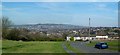
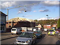
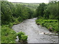
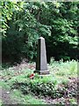
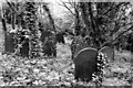
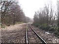
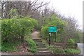
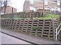
34 photos from this area
Area Information
Key information about the S5 8RN including its size, population, and administrative classification.
- Area Type
- Postcode
- Area Size
- 1.6 hectares
- Population
- 1553
- Population Density
- 6293 people/km²
House Prices in S5 8RN
35
Properties
£75,533
Average Sold Price
£17,200
Lowest Price
£121,060
Highest Price
Showing 35 properties
| Address | Type | Beds | Baths | Last Sale Price | Last Sale Date | |
|---|---|---|---|---|---|---|
| 32 Barrie Crescent, Sheffield, S5 8RN | house | 3 | - | £121,060 | Sep 2021 | |
| 34 Barrie Crescent, Sheffield, S5 8RN | Terraced | 3 | 1 | £105,000 | Jun 2019 | |
| 74 Barrie Crescent, Sheffield, S5 8RN | Terraced | 2 | - | £68,000 | Sep 2018 | |
| 40 Barrie Crescent, Sheffield, S5 8RN | Semi-detached | 2 | 1 | £65,000 | Nov 2016 | |
| 24 Barrie Crescent, Sheffield, S5 8RN | house | 3 | - | £91,500 | May 2006 | |
| 90 Barrie Crescent, Sheffield, S5 8RN | Semi-detached | 2 | 1 | £69,000 | Aug 2005 | |
| 64 Barrie Crescent, Sheffield, S5 8RN | Semi-detached | 3 | 1 | £67,500 | Mar 2005 | |
| 68 Barrie Crescent, Sheffield, S5 8RN | Terraced | - | - | £17,200 | Sep 2003 | |
| 60 Barrie Crescent, Sheffield, S5 8RN | Terraced | 3 | 1 | - | - | |
| 80 Barrie Crescent, Sheffield, S5 8RN | Terraced | 3 | 1 | - | - |
Page 1 of 4
Energy Efficiency in S5 8RN
Amenities
Schools
| Rank | School | Type | Entry gender | Ages |
|---|
Explore more schools in this area
Go to Schools tabDemographics
Household Size
Family (3-5 people)
most common
Accommodation Type
Houses
most common
Tenure
44
majority
Ethnic Group
White
most common
Religion
N/A
most common
Household Composition
N/A
most common
Age
47
median
Adults (30-64 years)
most common
Household Deprivation
N/A
with no deprivation
NS-SEC
16
in Lower managerial occupations
Explore more demographic insights in this area
Go to Demographics tabPlanning
Planning Constraints
- Flood RiskPremium
- Ramsar Wetland SitesPremium
- Area of Outstanding Natural BeautyPremium
- Protected Nature ReservePremium
- Protected WoodlandPremium