Area Overview for S5 7AA
Photos of S5 7AA
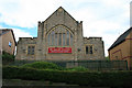
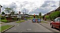
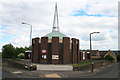
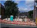
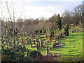
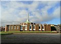
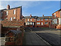
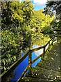
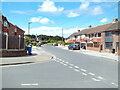
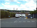
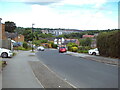
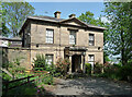
35 photos from this area
Area Information
Key information about the S5 7AA including its size, population, and administrative classification.
- Area Type
- Postcode
- Area Size
- 8431 m²
- Population
- 1880
- Population Density
- 4489 people/km²
House Prices in S5 7AA
28
Properties
£186,876
Average Sold Price
£15,510
Lowest Price
£253,000
Highest Price
Showing 28 properties
| Address | Type | Beds | Baths | Last Sale Price | Last Sale Date | |
|---|---|---|---|---|---|---|
| 365 Barnsley Road, Sheffield, S5 7AA | Terraced | 3 | 2 | £190,000 | Sep 2024 | |
| 335 Barnsley Road, Sheffield, S5 7AA | house | - | - | £150,000 | Jul 2021 | |
| 329 Barnsley Road, Sheffield, S5 7AA | Semi-detached | 4 | 1 | £220,000 | Nov 2019 | |
| 341 Barnsley Road, Sheffield, S5 7AA | house | - | - | £253,000 | Mar 2016 | |
| 327 Barnsley Road, Sheffield, S5 7AA | house | - | - | £249,000 | Aug 2008 | |
| 349 Barnsley Road, Sheffield, S5 7AA | house | - | - | £207,500 | Feb 2007 | |
| 363 Barnsley Road, Sheffield, S5 7AA | house | - | - | £210,000 | Oct 2006 | |
| 357 Barnsley Road, Sheffield, S5 7AA | house | - | - | £15,510 | Sep 1997 | |
| 343A Barnsley Road, Sheffield, S5 7AA | Flat | 4 | - | - | - | |
| 345 Barnsley Road, Sheffield, S5 7AA | Flat | 2 | - | - | - |
Page 1 of 3
Energy Efficiency in S5 7AA
Amenities
Schools
| Rank | School | Type | Entry gender | Ages |
|---|
Explore more schools in this area
Go to Schools tabDemographics
Household Size
Family (3-5 people)
most common
Accommodation Type
Houses
most common
Tenure
51
majority
Ethnic Group
asian_total
most common
Religion
N/A
most common
Household Composition
N/A
most common
Age
22
median
Adults (30-64 years)
most common
Household Deprivation
N/A
with no deprivation
NS-SEC
14
in Lower managerial occupations
Explore more demographic insights in this area
Go to Demographics tabPlanning
Planning Constraints
- Flood RiskPremium
- Ramsar Wetland SitesPremium
- Area of Outstanding Natural BeautyPremium
- Protected Nature ReservePremium
- Protected WoodlandPremium