Area Overview for S5 0QF
Photos of S5 0QF
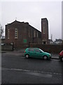
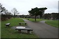
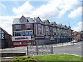
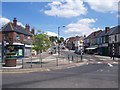
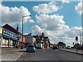
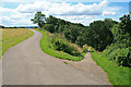
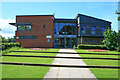
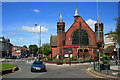
53 photos from this area
Area Information
Key information about the S5 0QF including its size, population, and administrative classification.
- Area Type
- Postcode
- Area Size
- 1.8 hectares
- Population
- 1670
- Population Density
- 6051 people/km²
House Prices in S5 0QF
7
Properties
£50,000
Average Sold Price
£50,000
Lowest Price
£50,000
Highest Price
Showing 7 properties
| Address | Type | Beds | Baths | Last Sale Price | Last Sale Date | |
|---|---|---|---|---|---|---|
| St Patricks Presbytery, Barnsley Road, Sheffield, S5 0QF | Semi-detached | - | - | £50,000 | Mar 2001 | |
| Flat Above, 825 Barnsley Road, Sheffield, S5 0QF | Flat | - | - | - | - | |
| Capille's Sandwich Bar, 831 Barnsley Road, Sheffield, S5 0QF | restaurant_cafe | - | - | - | - | |
| Top Salon, 831 Barnsley Road, Sheffield, S5 0QF | shop | - | - | - | - | |
| Playing Field, St Patricks Roman Catholic Primary School, Barnsley Road, Sheffield, S5 0QF | Leisure | - | - | - | - | |
| Flat, 829 Barnsley Road, Sheffield, S5 0QF | Flat | - | - | - | - | |
| 833A Barnsley Road, Sheffield, S5 0QF | Flat | - | - | - | - |
Energy Efficiency in S5 0QF
Amenities
Schools
| Rank | School | Type | Entry gender | Ages |
|---|
Explore more schools in this area
Go to Schools tabDemographics
Household Size
Family (3-5 people)
most common
Accommodation Type
Houses
most common
Tenure
41
majority
Ethnic Group
White
most common
Religion
N/A
most common
Household Composition
N/A
most common
Age
47
median
Adults (30-64 years)
most common
Household Deprivation
N/A
with no deprivation
NS-SEC
17
in Lower managerial occupations
Explore more demographic insights in this area
Go to Demographics tabPlanning
Planning Constraints
- Flood RiskPremium
- Ramsar Wetland SitesPremium
- Area of Outstanding Natural BeautyPremium
- Protected Nature ReservePremium
- Protected WoodlandPremium