Area Overview for S36 9NN
Photos of S36 9NN
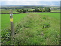
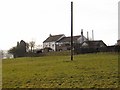
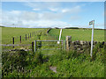
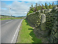
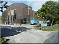

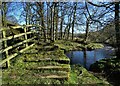
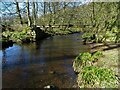
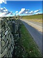
24 photos from this area
Area Information
Key information about the S36 9NN including its size, population, and administrative classification.
- Area Type
- Postcode
- Area Size
- 69.0 hectares
- Population
- 1925
- Population Density
- 30 people/km²
House Prices in S36 9NN
23
Properties
£507,000
Average Sold Price
£269,000
Lowest Price
£745,000
Highest Price
Showing 23 properties
| Address | Type | Beds | Baths | Last Sale Price | Last Sale Date | |
|---|---|---|---|---|---|---|
| Hall Gates, Lee Lane, Millhouse Green, Barnsley, S36 9NN | house | - | - | £745,000 | Jul 2022 | |
| Myrefield Cottage, Lee Lane, Millhouse Green, Barnsley, S36 9NN | Detached | 4 | 2 | £269,000 | Apr 2001 | |
| Copperas House, Lee Lane, Millhouse Green, Barnsley, S36 9NN | Detached | 3 | 1 | - | - | |
| Luminous Solutions, Arch Suite, Bullhouse Mill, Lee Lane, Millhouse Green, Barnsley, S36 9NN | Office | - | - | - | - | |
| Graham Goldethorpe Stonemasonry, The Stone Hub, Bullhouse Mill, Lee Lane, Millhouse Green, Barnsley, S36 9NN | Office | - | - | - | - | |
| 2, The Moorlands, Lee Lane, Millhouse Green, Barnsley, S36 9NN | house | - | - | - | - | |
| Hazlehead Hall, Lee Lane, Millhouse Green, Barnsley, S36 9NN | office_workshop | - | - | - | - | |
| Hazlehead Hall Cottage, Lee Lane, Millhouse Green, Barnsley, S36 9NN | Semi-detached | - | - | - | - | |
| Peak Hifi, Room 1 Bridge And Arch, Bullhouse Mill, Lee Lane, Millhouse Green, Barnsley, S36 9NN | Office | - | - | - | - | |
| P2 Technologies, Unit 5B, Bullhouse Mill, Lee Lane, Millhouse Green, Barnsley, S36 9NN | Office | - | - | - | - |
Page 1 of 3
Energy Efficiency in S36 9NN
Amenities
Schools
| Rank | School | Type | Entry gender | Ages |
|---|
Explore more schools in this area
Go to Schools tabDemographics
Household Size
Two person
most common
Accommodation Type
Houses
most common
Tenure
78
majority
Ethnic Group
White
most common
Religion
N/A
most common
Household Composition
N/A
most common
Age
47
median
Adults (30-64 years)
most common
Household Deprivation
N/A
with no deprivation
NS-SEC
38
in Lower managerial occupations
Explore more demographic insights in this area
Go to Demographics tabPlanning
Planning Constraints
- Flood RiskPremium
- Ramsar Wetland SitesPremium
- Area of Outstanding Natural BeautyPremium
- Protected Nature ReservePremium
- Protected WoodlandPremium