Area Overview for S36 2QE
Photos of S36 2QE
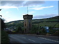
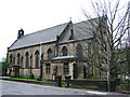
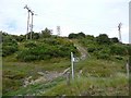
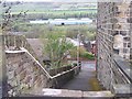
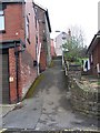
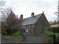
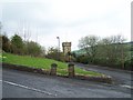
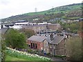
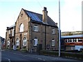
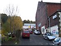
100 photos from this area
Area Information
Key information about the S36 2QE including its size, population, and administrative classification.
- Area Type
- Postcode
- Area Size
- 1.2 hectares
- Population
- 1466
- Population Density
- 3490 people/km²
House Prices in S36 2QE
19
Properties
£370,768
Average Sold Price
£75,000
Lowest Price
£2,490,000
Highest Price
Showing 19 properties
| Address | Type | Beds | Baths | Last Sale Price | Last Sale Date | |
|---|---|---|---|---|---|---|
| Stocksbridge Neuro Rehabilitation Centre, Holly Lodge, 2A Haywood Lane, Sheffield, S36 2QE | hospital_care_home | - | - | £2,490,000 | May 2025 | |
| 17 Haywood Lane, Sheffield, S36 2QE | Detached | 3 | 1 | £323,000 | Jan 2025 | |
| 24 Haywood Lane, Sheffield, S36 2QE | house | - | - | £250,000 | Apr 2022 | |
| 16 Haywood Lane, Sheffield, S36 2QE | Detached | 3 | - | £197,000 | May 2017 | |
| 15 Haywood Lane, Sheffield, S36 2QE | house | - | - | £185,000 | Mar 2017 | |
| 20 Haywood Lane, Sheffield, S36 2QE | Detached | 3 | - | £200,000 | Oct 2016 | |
| 11 Haywood Lane, Sheffield, S36 2QE | house | - | - | £75,000 | Oct 2013 | |
| 30 Haywood Lane, Sheffield, S36 2QE | Semi-detached | 3 | - | £95,000 | May 2013 | |
| 5 Haywood Lane, Sheffield, S36 2QE | Semi-detached | 3 | 1 | £96,500 | Mar 2005 | |
| 9 Haywood Lane, Sheffield, S36 2QE | Terraced | - | - | £75,000 | Apr 2004 |
Page 1 of 2
Energy Efficiency in S36 2QE
Amenities
Schools
| Rank | School | Type | Entry gender | Ages |
|---|
Explore more schools in this area
Go to Schools tabDemographics
Household Size
Family (3-5 people)
most common
Accommodation Type
Houses
most common
Tenure
68
majority
Ethnic Group
White
most common
Religion
N/A
most common
Household Composition
N/A
most common
Age
47
median
Adults (30-64 years)
most common
Household Deprivation
N/A
with no deprivation
NS-SEC
25
in Lower managerial occupations
Explore more demographic insights in this area
Go to Demographics tabPlanning
Planning Constraints
- Flood RiskPremium
- Ramsar Wetland SitesPremium
- Area of Outstanding Natural BeautyPremium
- Protected Nature ReservePremium
- Protected WoodlandPremium