Area Overview for S35 8QW
Photos of S35 8QW
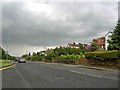
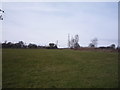
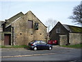
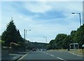
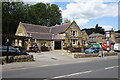
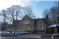
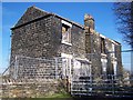
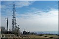
53 photos from this area
Area Information
Key information about the S35 8QW including its size, population, and administrative classification.
- Area Type
- Postcode
- Area Size
- 10.6 hectares
- Population
- 1531
- Population Density
- 742 people/km²
House Prices in S35 8QW
8
Properties
£165,165
Average Sold Price
£35,000
Lowest Price
£418,000
Highest Price
Showing 8 properties
| Address | Type | Beds | Baths | Last Sale Price | Last Sale Date | |
|---|---|---|---|---|---|---|
| The Corner House, Skew Hill, Sheffield, S35 8QW | Detached | 3 | - | £249,999 | Sep 2021 | |
| Skew Hill Farm, Skew Hill, Sheffield, S35 8QW | Detached | 3 | 2 | £418,000 | Feb 2021 | |
| 17 Skew Hill, Sheffield, S35 8QW | Semi-detached | - | - | £35,000 | Jun 2003 | |
| 1 Skew Hill, Sheffield, S35 8QW | Semi-detached | 2 | 1 | £52,875 | Nov 2000 | |
| 3 Skew Hill, Sheffield, S35 8QW | house | - | - | £69,950 | Aug 2000 | |
| 13 Skew Hill, Sheffield, S35 8QW | Detached | - | - | - | - | |
| 15 Skew Hill, Sheffield, S35 8QW | undefined | - | - | - | - | |
| Skew Hill Boarding Kennels & Cattery, 13-15 Skew Hill, Sheffield, S35 8QW | commercial | - | - | - | - |
Energy Efficiency in S35 8QW
Amenities
Schools
| Rank | School | Type | Entry gender | Ages |
|---|
Explore more schools in this area
Go to Schools tabDemographics
Household Size
Two person
most common
Accommodation Type
Houses
most common
Tenure
87
majority
Ethnic Group
White
most common
Religion
N/A
most common
Household Composition
N/A
most common
Age
47
median
Adults (30-64 years)
most common
Household Deprivation
N/A
with no deprivation
NS-SEC
40
in Lower managerial occupations
Explore more demographic insights in this area
Go to Demographics tabPlanning
Planning Constraints
- Flood RiskPremium
- Ramsar Wetland SitesPremium
- Area of Outstanding Natural BeautyPremium
- Protected Nature ReservePremium
- Protected WoodlandPremium