Area Overview for S35 7AN
Photos of S35 7AN
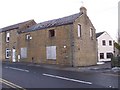
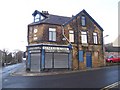
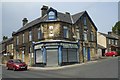
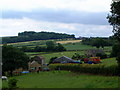
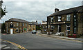

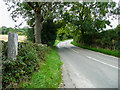
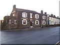
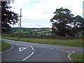
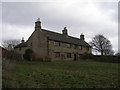
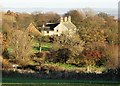
21 photos from this area
Area Information
Key information about the S35 7AN including its size, population, and administrative classification.
- Area Type
- Postcode
- Area Size
- 23.7 hectares
- Population
- 1651
- Population Density
- 194 people/km²
House Prices in S35 7AN
24
Properties
£244,188
Average Sold Price
£29,500
Lowest Price
£450,000
Highest Price
Showing 24 properties
| Address | Type | Beds | Baths | Last Sale Price | Last Sale Date | |
|---|---|---|---|---|---|---|
| 11 Crane Moor Nook, Crane Moor, Barnsley, S35 7AN | Bungalow | - | - | £450,000 | Dec 2022 | |
| 5 Brick Row, Crane Moor, Barnsley, S35 7AN | Terraced | 2 | 1 | £185,000 | Oct 2021 | |
| 14 Crane Moor Nook, Crane Moor, Barnsley, S35 7AN | house | - | - | £395,000 | Mar 2021 | |
| Nook End Lodge, Crane Moor Nook, Crane Moor, Barnsley, S35 7AN | Semi-detached | 3 | - | £417,000 | Mar 2021 | |
| 6 Brick Row, Crane Moor, Barnsley, S35 7AN | Cottage | 3 | - | £168,000 | Jun 2020 | |
| 4 Brick Row, Crane Moor, Barnsley, S35 7AN | house | 2 | - | £124,000 | Oct 2015 | |
| 15 Crane Moor Nook, Crane Moor, Barnsley, S35 7AN | Cottage | 3 | 1 | £185,000 | Feb 2006 | |
| 3, Mountain Row, Pog Lane, Crane Moor, Barnsley, S35 7AN | Cottage | 1 | 1 | £29,500 | Jul 1998 | |
| Greenways, Crane Moor Nook, Crane Moor, Barnsley, S35 7AN | Bungalow | 3 | - | - | - | |
| 1, The Old Coal Yard, Crane Moor Nook, Crane Moor, Barnsley, S35 7AN | house | 3 | - | - | - |
Page 1 of 3
Energy Efficiency in S35 7AN
Amenities
Schools
| Rank | School | Type | Entry gender | Ages |
|---|
Explore more schools in this area
Go to Schools tabDemographics
Household Size
Two person
most common
Accommodation Type
Houses
most common
Tenure
71
majority
Ethnic Group
White
most common
Religion
N/A
most common
Household Composition
N/A
most common
Age
47
median
Adults (30-64 years)
most common
Household Deprivation
N/A
with no deprivation
NS-SEC
37
in Lower managerial occupations
Explore more demographic insights in this area
Go to Demographics tabPlanning
Planning Constraints
- Flood RiskPremium
- Ramsar Wetland SitesPremium
- Area of Outstanding Natural BeautyPremium
- Protected Nature ReservePremium
- Protected WoodlandPremium